Charvet, Mountain summit in Aravis Range, France
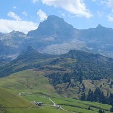
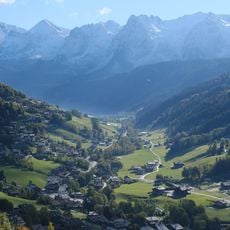
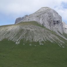
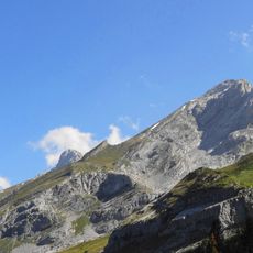
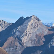
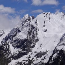
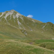
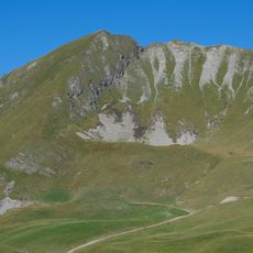
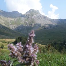
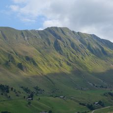
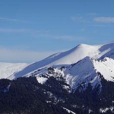
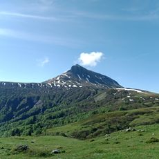
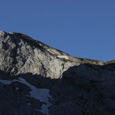
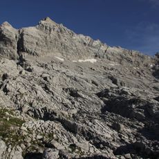
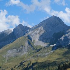
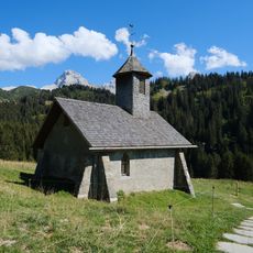
Charvet is a summit in the Aravis Range located in Haute-Savoie, rising to approximately 2300 meters with rocky slopes and steep faces. The peak sits within a network of surrounding summits that together form a distinctive Alpine massif in the northern French Alps.
The Aravis Range formed millions of years ago through collision of tectonic plates during Alpine mountain building. These geological processes created the rocky faces and high elevations that define this peak today.
Local mountaineers have long maintained traditional Alpine climbing practices on this peak, with knowledge about safe routes and mountaineering skills passed down through families and guide associations. This connection to the mountain remains central to the identity of people in the surrounding Alpine villages.
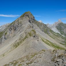
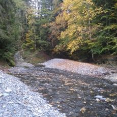
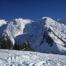
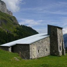
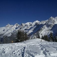
To reach this summit, hikers follow marked trails starting from nearby mountain villages, with options for different skill levels. Proper preparation and weatherproof gear are essential, as conditions on the mountain can change quickly.
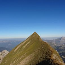
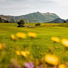
This peak sits within a network of numerous neighboring summits in close proximity, making it an excellent choice for hikers who want to experience multiple high points in a single outing. The proximity to other peaks allows for varied route options without extensive travel between climbs.
The community of curious travelers
AroundUs brings together thousands of curated places, local tips, and hidden gems, enriched daily by 60,000 contributors worldwide.