Tête de la Toura, Alpine summit in Écrins National Park, France
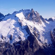
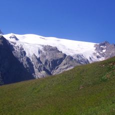
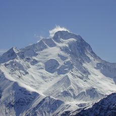
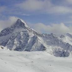
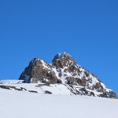
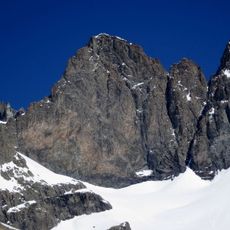
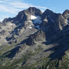
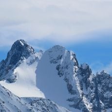
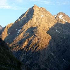
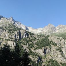
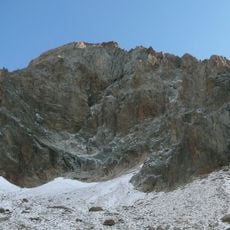
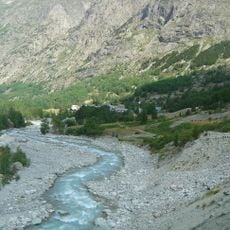
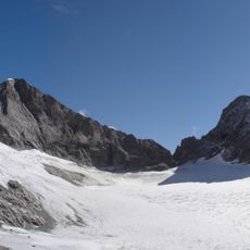
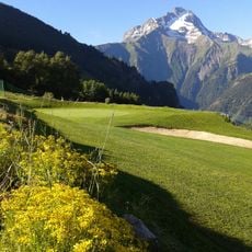
Tête de la Toura is a high alpine summit within Écrins National Park that rises to 2914 meters with exposed rocky sections and steep terrain. The slopes transition from alpine meadows at lower elevations to open rock faces near the peak, requiring scrambling ability to reach the top.
This peak became documented during 19th-century mountaineering explorations of the French Alps, when early climbers recorded the access routes. The routes climbers use today largely follow the paths established during that period of Alpine discovery.
Local shepherds maintain traditional knowledge about the mountain paths and weather patterns, passing this information through successive generations of mountain dwellers.
Sturdy boots and scrambling ability are essential, as several sections are exposed and can be slippery, especially after rain or snow. Starting early in the day is important to ensure you have daylight for the entire route and to avoid afternoon weather deterioration.
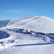
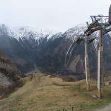
An orientation table at Peyssa point, located at 2042 meters, identifies the surrounding Alpine peaks and valleys with labeled markers. This viewpoint serves as a helpful geographical reference that makes it easier to understand the layout of the surrounding mountain landscape.
The community of curious travelers
AroundUs brings together thousands of curated places, local tips, and hidden gems, enriched daily by 60,000 contributors worldwide.