Enable Location

We need your location to show you interesting places around you

Discover nearby places

Find interesting locations and hidden gems around you

Precise directions

Get accurate directions and distances to places

Your location is never shared with other users. It's only used when you tap the location button.

Log in to your account

Start exploring — it's free

Trusted by 62,564 travelers worldwide

Continue with Google
Continue with Apple
or

We will send you a code to connect

By continuing, you accept our Terms and Conditions and our Privacy Policy

Check your inbox

We've sent a pincode in your inbox. Please enter the code below.

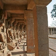
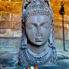
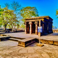
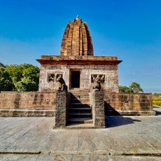
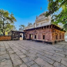
Katni district, Administrative district in Jabalpur division, India.

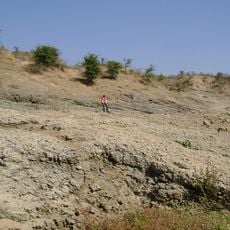
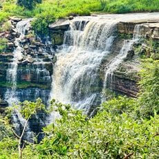
Katni is an administrative district within Jabalpur region, stretching across thousands of square kilometers of central terrain. The land features varied geology with deposits of limestone and bauxite scattered throughout its different zones.

The district was created in 1998 when it separated from Jabalpur to become its own administrative unit. This formation led to the establishment of Katni town as the region's new administrative center.

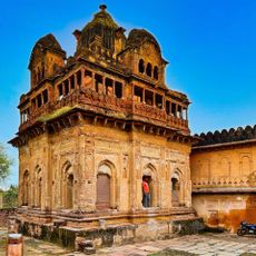
The district draws from customs rooted in three neighboring regions, shaping how people here live and celebrate. Local traditions blend elements from these different areas, visible in how communities observe festivals and maintain their daily practices.

The district is organized into seven administrative subdivisions spread across its territory, each handling local affairs. This structure helps visitors navigate and understand the different parts of the region when exploring.

The district functions as a major railway junction with one of the country's largest diesel locomotive maintenance facilities. This industrial presence shapes the economic character and daily activity of the region.

The community of curious travelers

AroundUs brings together thousands of curated places, local tips, and hidden gems, enriched daily by 60,000 contributors worldwide.

Start exploring
Capital city
Katni
Shares border with
Satna district
GPS coordinates
23.83556,80.39417
Latest update
December 7, 2025 20:45
« Katni district - Administrative district in Jabalpur division, India » is provided by Around Us (aroundus.com). Images and texts are derived from Wikimedia project under a Creative Commons license. You are allowed to copy, distribute, and modify copies of this page, under the conditions set by the license, as long as this note is clearly visible.

Discover hidden gems everywhere you go!

From secret cafés to breathtaking viewpoints, skip the crowded tourist spots and find places that match your style. Our app makes it easy with voice search, smart filtering, route optimization, and insider tips from travelers worldwide. Download now for the complete mobile experience.

Around Us App Screenshot

A unique approach to discovering new places

Le Figaro

All the places worth exploring

France Info

A tailor-made excursion in just a few clicks

20 Minutes

Around Us
Travel Guide & Maps
Download

Send to your phone

QR Code
1

Open the camera app on your mobile.

2

Point at the QR code with your camera. A notification will appear.

3

Tap the notification to open the link.