Nainital, Hill station in Kumaon division, India
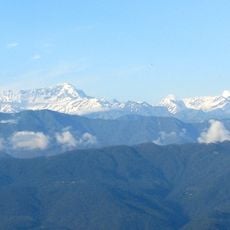
Nainital is a hill station in the Kumaon division of Uttarakhand, India, built around a mango-shaped lake at 2084 meters elevation and surrounded by the Naina, Deopatha and Ayarpatha peaks. Along the slopes above the water, hotels, houses and narrow roads run in tight curves linking the two ends of the lake, while a wide promenade follows the shoreline and invites walkers to stroll.
The settlement took shape in 1841 when sugar merchant P. Barron built the first European house, laying the foundation for a summer seat of British colonial administration. Over the following decades, the town became a preferred retreat for British officials escaping the heat of the plains, and they built schools, churches and administrative buildings here.
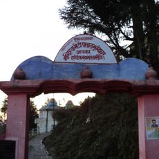
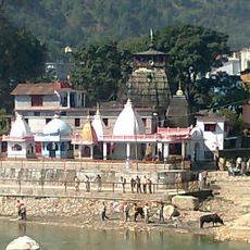
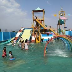
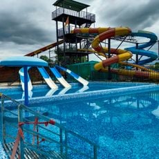
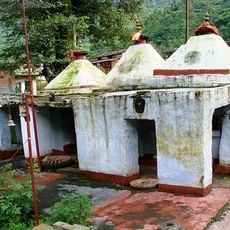
Locals wear wool shawls and handwoven stoles, while women dress in bright Ghaghras and join temple ceremonies that draw pilgrims from across the country. Along the main promenade, vendors sell hot pakoras and chai, and families gather at the waterfront to rent paddle boats and listen to local musicians singing traditional songs.
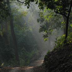
The town sits on roads linking several hill stations within a few hours, making it a good base for trips through the Kumaon region. Visitors seeking higher viewpoints can take a cable car or follow steep footpaths that climb from the shoreline and can become slippery in mist or after rain.
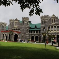
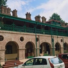
The Governor's House contains 113 rooms spread across landscaped gardens and beside a golf course, following a design modeled on Buckingham Palace. During British times, the property served as the official summer residence, and today visitors can tour the outer grounds when no official events are taking place.
The community of curious travelers
AroundUs brings together thousands of curated places, local tips, and hidden gems, enriched daily by 60,000 contributors worldwide.