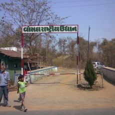
Dandi, village in Gujarat state, India
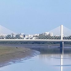
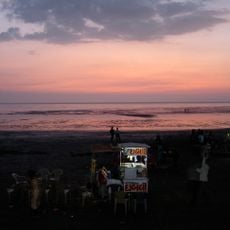
Dandi is a small fishing village on the Arabian Sea coast in the state of Gujarat, western India. It sits on flat ground close to the shore and is known across the country for its role in India's independence movement.
In 1930, Mahatma Gandhi ended his famous Salt March here, walking over 240 miles (about 385 km) from Sabarmati Ashram to protest British control over salt production. That act of civil disobedience drew worldwide attention and marked a turning point in the independence movement.
Dandi gained worldwide attention as the endpoint of Gandhi's Salt March in 1930 and remains tied to India's independence movement. The village preserves this connection through its local identity and how residents relate to their place in history.
The village is small and easy to walk through, with few roads and limited services for visitors. The cooler months from October to March make the visit more comfortable, as summers can be very hot and humid along the coast.
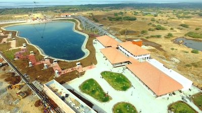
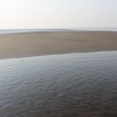
Gandhi chose this village deliberately because it had a long history of salt gathering along its shore, making the gesture of picking up salt there especially meaningful. The beach where he picked up a handful of natural salt is still accessible today.
The community of curious travelers
AroundUs brings together thousands of curated places, local tips, and hidden gems, enriched daily by 60,000 contributors worldwide.