Chest opened
+${chestReward.xp} XP
Explorer
NOUVEAU ×${chestReward.collectible.quantity}
tapez pour fermer
Chest locked

Open chests in the app

Around Us is built for your phone — chests unlock when you walk, explore and capture nearby places.

Enable Location

We need your location to show you interesting places around you

Discover nearby places

Find interesting locations and hidden gems around you

Precise directions

Get accurate directions and distances to places

Your location is never shared with other users. It's only used when you tap the location button.

Ram Setu

Log in to your account

Start exploring — it's free

Trusted by 72,893 travelers worldwide

Continue with Google
Continue with Apple
or

We will send you a code to connect

By continuing, you accept our Terms and Conditions and our Privacy Policy

Check your inbox

We've sent a pincode in your inbox. Please enter the code below.

Ram Setu
Discussion Reviews 1 Photos
575k Popularity

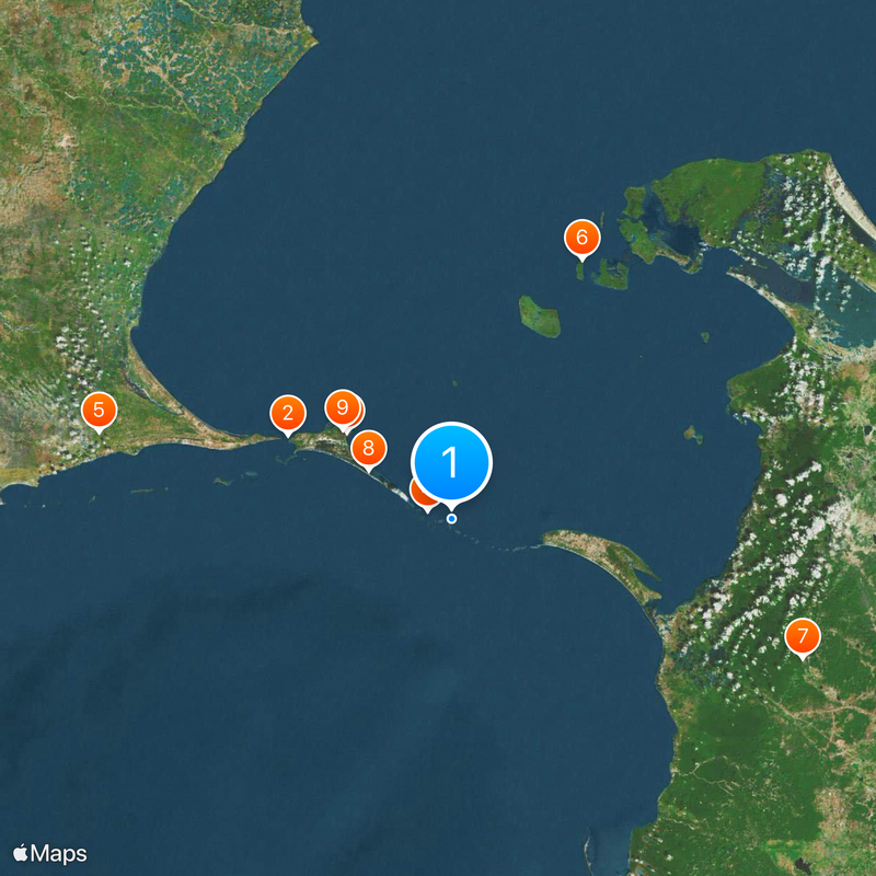
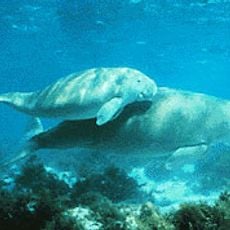
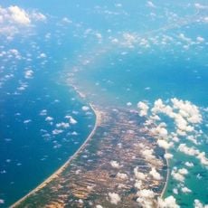
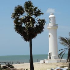
Ram Setu, Natural limestone chain between Rameswaram Island and Mannar Island, India and Sri Lanka

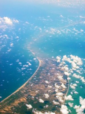
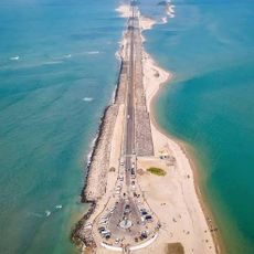
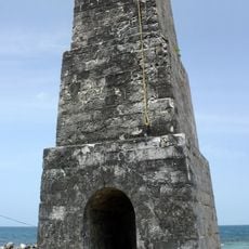
Ram Setu is a chain of limestone shoals stretching roughly 30 kilometers through the Palk Strait between southeastern India and northwestern Sri Lanka. The shoals lie mostly just below the water surface and form a natural connection between the two countries, with water depth varying between one and ten meters.

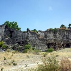
Ancient Sanskrit writings from around 1880 before the common era already mention this formation as a kind of land bridge between the two coasts. A severe cyclone in 1480 destroyed parts of the structure and submerged larger sections underwater, leaving only remnants visible today.

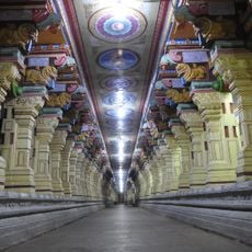
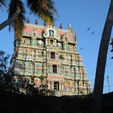
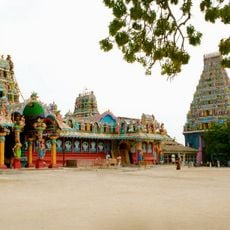
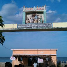
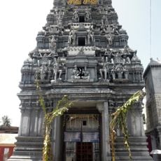
Hindu pilgrims visit the site today to honor the place where, according to religious tradition, Rama directed the building of a bridge to rescue his wife Sita from Lanka. Many believers collect stones along the shore and pray by the water, as the site is considered sacred and linked to this ancient narrative.

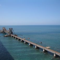
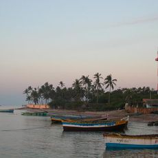
The shallow water and irregularly distributed shoals make the area difficult for larger vessels to pass, which is why marked shipping channels must be used. Boat trips from Rameswaram offer visitors the chance to view the formation up close, but should only be undertaken in calm sea conditions.

Geological studies suggest that the formation emerged roughly 3,500 years ago when sea levels were considerably lower than today. The stones show an unusual age structure, with older parts lying on top while younger deposits sit beneath, pointing to a particular origin story.

The community of curious travelers

AroundUs brings together thousands of curated places, local tips, and hidden gems, enriched daily by 60,000 contributors worldwide.

Start exploring
GPS coordinates
9.12100,79.52170
Latest update
December 12, 2025 19:08
Reviews
Share your experience

No review yet

Discussions
Start a discussion...

No discussion yet

« Ram Setu - Natural limestone chain between Rameswaram Island and Mannar Island, India and Sri Lanka » is provided by Around Us (aroundus.com). Images and texts are derived from Wikimedia project under a Creative Commons license. You are allowed to copy, distribute, and modify copies of this page, under the conditions set by the license, as long as this note is clearly visible.

Discover hidden gems everywhere you go!

From secret cafés to breathtaking viewpoints, skip the crowded tourist spots and find places that match your style. Our app makes it easy with voice search, smart filtering, route optimization, and insider tips from travelers worldwide. Download now for the complete mobile experience.

Around Us App Screenshot

A unique approach to discovering new places

Le Figaro

All the places worth exploring

France Info

A tailor-made excursion in just a few clicks

20 Minutes

Around Us
Travel Guide & Maps
Download

Send to your phone

QR Code
1

Open the camera app on your mobile.

2

Point at the QR code with your camera. A notification will appear.

3

Tap the notification to open the link.