Chest opened
+${chestReward.xp} XP
Explorer
NOUVEAU ×${chestReward.collectible.quantity}
tapez pour fermer
Chest locked

Open chests in the app

Around Us is built for your phone — chests unlock when you walk, explore and capture nearby places.

Enable Location

We need your location to show you interesting places around you

Discover nearby places

Find interesting locations and hidden gems around you

Precise directions

Get accurate directions and distances to places

Your location is never shared with other users. It's only used when you tap the location button.

Ranikhet

Log in to your account

Start exploring — it's free

Trusted by 72,881 travelers worldwide

Continue with Google
Continue with Apple
or

We will send you a code to connect

By continuing, you accept our Terms and Conditions and our Privacy Policy

Check your inbox

We've sent a pincode in your inbox. Please enter the code below.

Ranikhet
Discussion Reviews 4 Photos
79.1k Popularity

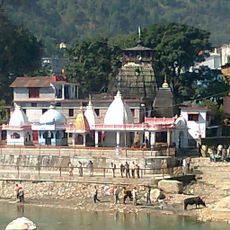
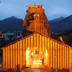
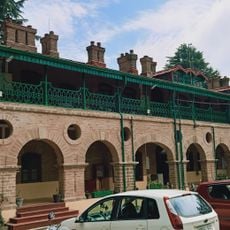
Ranikhet, Military hill station in Almora district, India.

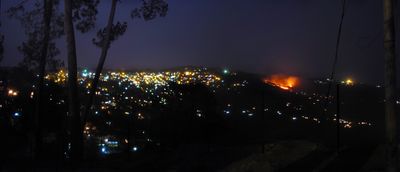
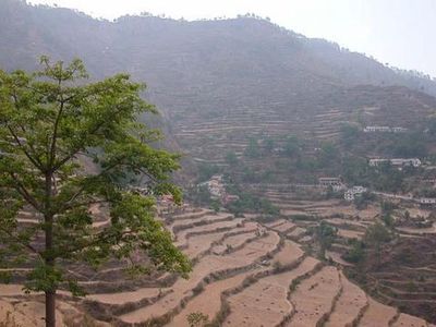
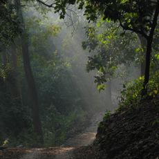
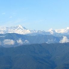
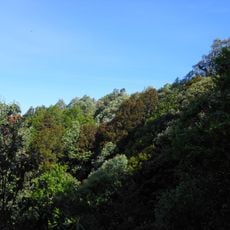
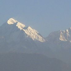
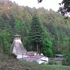
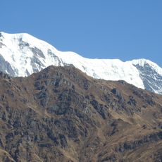
Ranikhet is a cantonment town in Almora district, India, spread across elevations around 1,870 meters (6,135 feet) and interspersed with oak and pine groves. Military grounds occupy a large part of the area, while residential quarters, markets, and open meadows are scattered across gentle slopes.

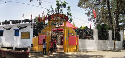
The British Army purchased land from villagers in 1868 and established a base here that later became the headquarters of the Kumaon Regiment. After independence the military function continued and additional units settled in.

The name refers to a queen who admired the landscape here many years ago. Residents use the maintained paths for daily walks and often gather in the small markets where fresh apples and woolen clothing are sold.

Visitors reach the town by road from Kathgodam railway station about 68 kilometers (42 miles) away, or use air connections to Pantnagar. Paths through forests and open areas are easy to walk on clear days, while fog can reduce visibility.

Three major military institutions share the grounds: a hospital, the Kumaon Regiment, and the Naga Regiment of the Indian Army. Visitors often see uniformed soldiers on training marches along the roads and field paths.

The community of curious travelers

AroundUs brings together thousands of curated places, local tips, and hidden gems, enriched daily by 60,000 contributors worldwide.

Start exploring
Location
Elevation above the sea
1,869 m
GPS coordinates
29.64306,79.43333
Latest update
December 13, 2025 16:45
Reviews
Share your experience

No review yet

Discussions
Start a discussion...

No discussion yet

« Ranikhet - Military hill station in Almora district, India » is provided by Around Us (aroundus.com). Images and texts are derived from Wikimedia project under a Creative Commons license. You are allowed to copy, distribute, and modify copies of this page, under the conditions set by the license, as long as this note is clearly visible.

Discover hidden gems everywhere you go!

From secret cafés to breathtaking viewpoints, skip the crowded tourist spots and find places that match your style. Our app makes it easy with voice search, smart filtering, route optimization, and insider tips from travelers worldwide. Download now for the complete mobile experience.

Around Us App Screenshot

A unique approach to discovering new places

Le Figaro

All the places worth exploring

France Info

A tailor-made excursion in just a few clicks

20 Minutes

Around Us
Travel Guide & Maps
Download

Send to your phone

QR Code
1

Open the camera app on your mobile.

2

Point at the QR code with your camera. A notification will appear.

3

Tap the notification to open the link.