Kolhapur district, Administrative district in Maharashtra, India
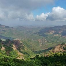
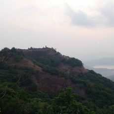
Kolhapur district is an administrative region in southwestern Maharashtra characterized by hilly terrain, flat plains, and several river systems including the Panchganga. The territory is divided into twelve administrative subdivisions that manage local governance and community affairs for their respective areas.
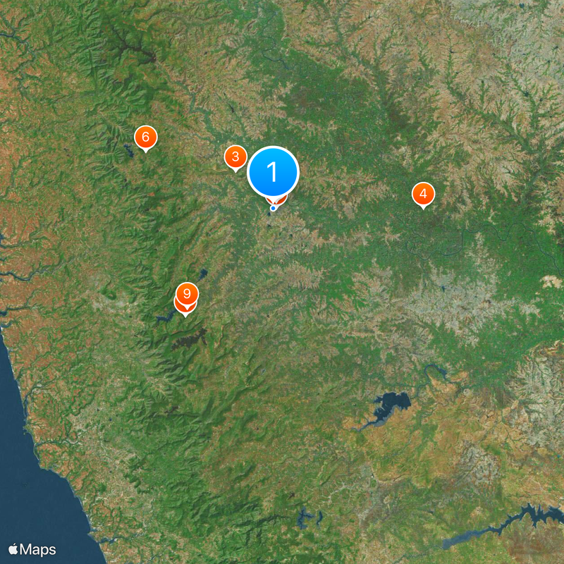
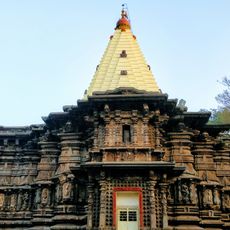
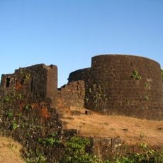
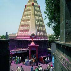
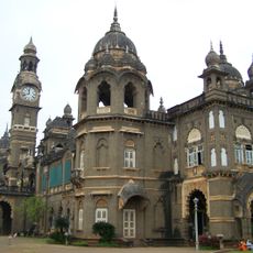
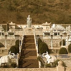
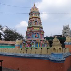
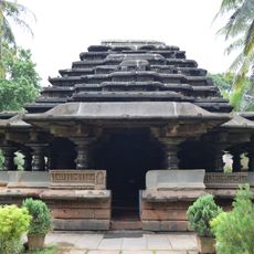
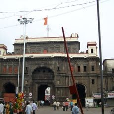
The area served as a vital territory of the Maratha Empire, with Kolhapur city functioning as a major administrative center from ancient periods onward. This location maintained its regional importance across several centuries and shaped developments in southwestern India.
The region is known for traditional leather sandal making, a craft passed down through generations by local artisans who maintain specific techniques unique to this area. Visitors can observe how this footwear remains an important part of local identity and daily commerce.
The region receives significant rainfall during the monsoon season from June through September, which affects road conditions and travel. The most favorable period for visiting is October through March when the weather remains dry and comfortable for exploration.
The local cuisine features intensely spiced dishes prepared with a distinctive blend of ground spices that differs markedly from other parts of Maharashtra. These flavorful preparations reflect regional taste traditions and set the area apart in terms of culinary identity.
The community of curious travelers
AroundUs brings together thousands of curated places, local tips, and hidden gems, enriched daily by 60,000 contributors worldwide.