Enable Location

We need your location to show you interesting places around you

Discover nearby places

Find interesting locations and hidden gems around you

Precise directions

Get accurate directions and distances to places

Your location is never shared with other users. It's only used when you tap the location button.

Log in to your account

Start exploring — it's free

Trusted by 62,471 travelers worldwide

Continue with Google
Continue with Apple
or

We will send you a code to connect

By continuing, you accept our Terms and Conditions and our Privacy Policy

Check your inbox

We've sent a pincode in your inbox. Please enter the code below.

Pulwama district

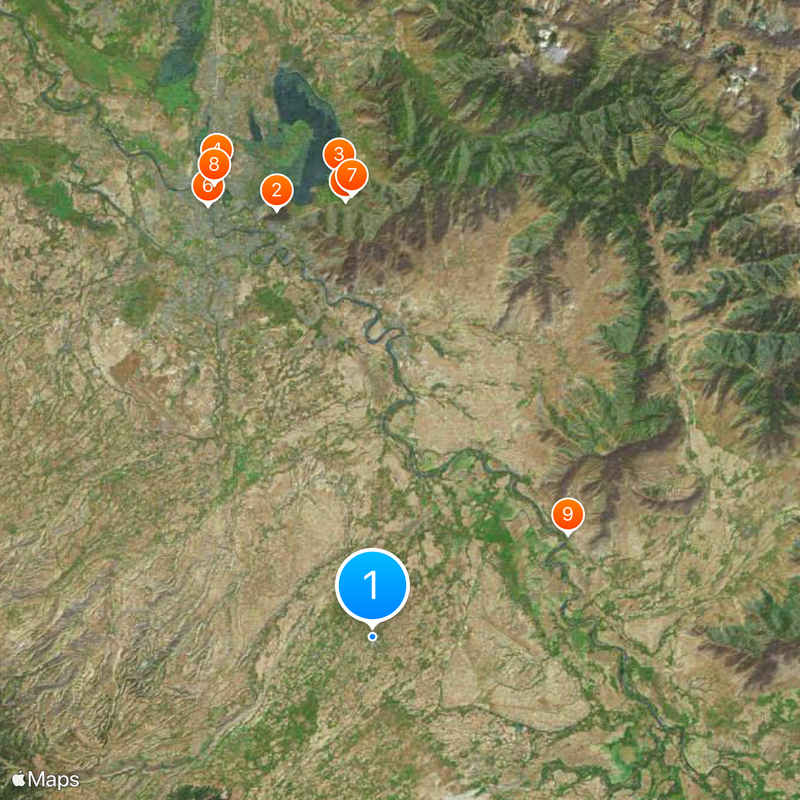
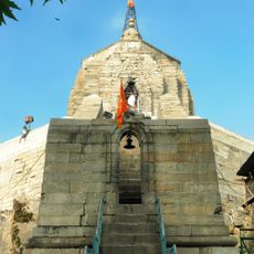
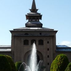
Pulwama district, Administrative district in Kashmir division, India.

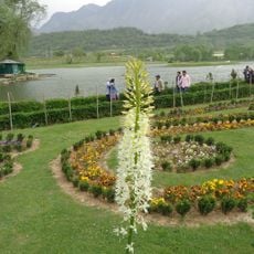
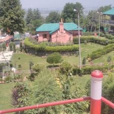
Pulwama district is an administrative area in Kashmir division, situated south of Srinagar across hilly terrain. It is organized into several administrative subdivisions and comprises numerous villages connected by local roads and highways.

The district was created in 1979 when the region was reorganized and separated from Anantnag as an independent administrative area. This division shaped the modern structure of the Kashmir valley's administration.

Kashmiri is the main language spoken by residents in their daily lives, shaping how people communicate and maintain local traditions. You will hear it everywhere, from markets to homes, as it forms the heart of community identity.

The district is accessible via two national highways that provide good connections to nearby cities and towns. The nearest railway station at Awantipora serves as the main transportation hub for visitors arriving by train.

The region is known worldwide for slate production, a material used extensively in pencil manufacturing. The village of Oukhoo plays a central role in this industry, supplying materials to manufacturers across India.

The community of curious travelers

AroundUs brings together thousands of curated places, local tips, and hidden gems, enriched daily by 60,000 contributors worldwide.

Start exploring
Location
Inception
1979
Capital city
Pulwama
Elevation above the sea
1,630 m
Shares border with
Shopian district, Srinagar district
GPS coordinates
33.87354,74.89902
Latest update
December 20, 2025 01:18
« Pulwama district - Administrative district in Kashmir division, India » is provided by Around Us (aroundus.com). Images and texts are derived from Wikimedia project under a Creative Commons license. You are allowed to copy, distribute, and modify copies of this page, under the conditions set by the license, as long as this note is clearly visible.

Discover hidden gems everywhere you go!

From secret cafés to breathtaking viewpoints, skip the crowded tourist spots and find places that match your style. Our app makes it easy with voice search, smart filtering, route optimization, and insider tips from travelers worldwide. Download now for the complete mobile experience.

Around Us App Screenshot

A unique approach to discovering new places

Le Figaro

All the places worth exploring

France Info

A tailor-made excursion in just a few clicks

20 Minutes

Around Us
Travel Guide & Maps
Download

Send to your phone

QR Code
1

Open the camera app on your mobile.

2

Point at the QR code with your camera. A notification will appear.

3

Tap the notification to open the link.