Gangapur, city and a municipal council in Aurangabad district, Maharashtra, India
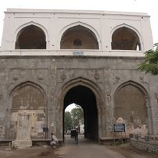
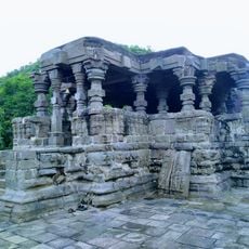
Gangapur is a small town in Sambhajinagar district in Maharashtra, situated along a highway connecting Aurangabad and Ahmednagar. The place features open spaces, stone temples with simple carved details, quiet streets, and local shops selling everyday goods, with residents moving about in a leisurely manner between markets and small workshops.
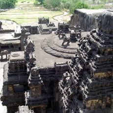
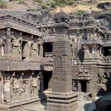
The area was a trade center under the Satavahana Empire from the 2nd to 3rd century CE, and later fell under Vakataka, Yadava, and Bahmani Sultanate rule. In the 18th and 19th centuries it came under the Nizam of Hyderabad's control, and following India's independence in 1947, it became part of Maharashtra and gained official municipal status in the 1960s.
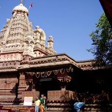
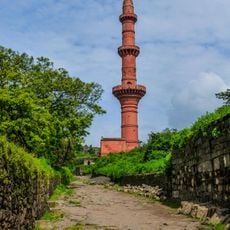
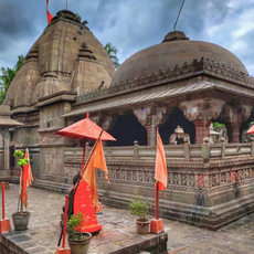
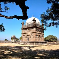
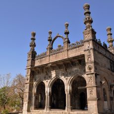
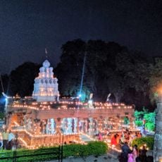
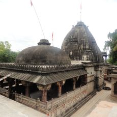
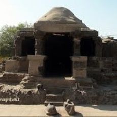
The town centers around several old temples dedicated to Lord Narasimha, Vitthal, and Ek Mukhi Datta, which residents visit regularly as part of their spiritual life. During major festivals like Ganesh Chaturthi and Navratri, the community holds processions, devotional gatherings, and shared meals that temporarily transform the town's quiet pace.
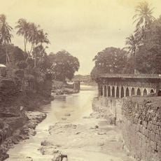
The town sits about 38 kilometers from Aurangabad and is accessible by good road, with small buses and motorcycles serving as the main local transport. The nearby Aurangabad railway station provides access to the region, and the Jayakwadi River's proximity allows visitors to explore the surrounding green spaces.
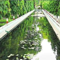
Not far away stands a large dam built in the 1970s that secures the water supply for farming in the region. This structure played a key role in stabilizing irrigation and allowed farmers to grow crops even during dry seasons.
The community of curious travelers
AroundUs brings together thousands of curated places, local tips, and hidden gems, enriched daily by 60,000 contributors worldwide.