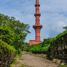
Aurangabad district, Administrative district in Maharashtra, India
Aurangabad district is an administrative unit in Maharashtra, part of the Sambhajinagar division on the Deccan Plateau. It covers nine subdivisions with over a thousand villages and several urban centers spread across a hilly landscape of solidified lava flows.
The territory moved from Hyderabad State to Bombay State in 1956, and became part of Maharashtra four years later. This reorganization followed the language-based restructuring of Indian states after independence.
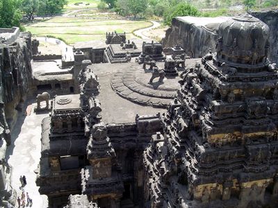
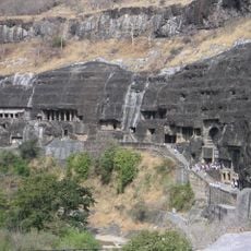
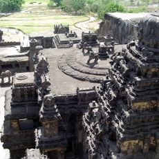
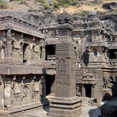
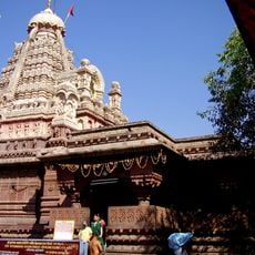
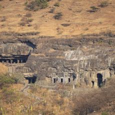
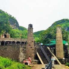
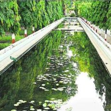
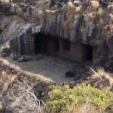
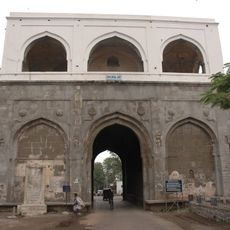
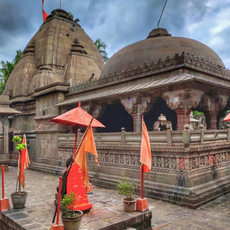
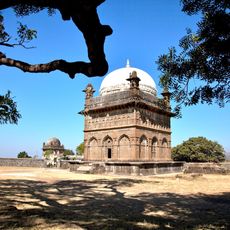
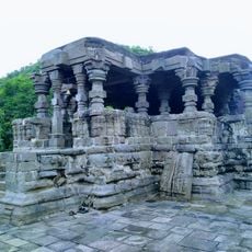
The district contains two UNESCO World Heritage Sites: the Ajanta Caves with Buddhist art and the Ellora Caves featuring Hindu, Buddhist, and Jain monuments.
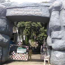
The region has hospitals, schools, and administrative buildings across nine municipalities spread throughout the territory. Travelers will find public facilities in both larger towns and smaller countryside settlements.
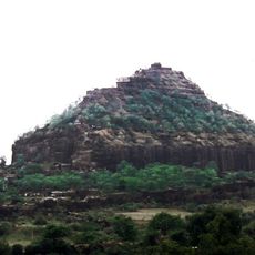
The highest point in the territory sits at Antur, reaching 827 meters (2,713 feet) above sea level. The underlying rock consists of basaltic lava layers from the late Cretaceous period, which shaped the present-day relief.
The community of curious travelers
AroundUs brings together thousands of curated places, local tips, and hidden gems, enriched daily by 60,000 contributors worldwide.