Chest opened
+${chestReward.xp} XP
Explorer
NOUVEAU ×${chestReward.collectible.quantity}
tapez pour fermer
Chest locked

Open chests in the app

Around Us is built for your phone — chests unlock when you walk, explore and capture nearby places.

Enable Location

We need your location to show you interesting places around you

Discover nearby places

Find interesting locations and hidden gems around you

Precise directions

Get accurate directions and distances to places

Your location is never shared with other users. It's only used when you tap the location button.

Banihal Pass

Log in to your account

Start exploring — it's free

Trusted by 72,983 travelers worldwide

Continue with Google
Continue with Apple
or

We will send you a code to connect

By continuing, you accept our Terms and Conditions and our Privacy Policy

Check your inbox

We've sent a pincode in your inbox. Please enter the code below.

Banihal Pass
Discussion Reviews 1 Photos
16.9k Popularity

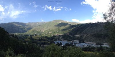
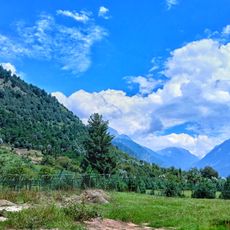
Banihal Pass, Mountain pass in Pir Panjal Range, India

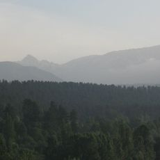
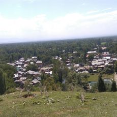
Banihal Pass is a mountain pass through the Pir Panjal range sitting at about 2,832 meters (9,300 feet) above sea level, running roughly 39 kilometers from Shaitani Nallah to Mundah. The route features steep slopes, rocky terrain, and alpine meadows in summer that turn to snow cover in winter.

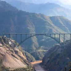
The pass served as the main route connecting Jammu and Srinagar until 1956, when the Jawahar Tunnel was completed as an underground alternative. This tunnel shifted the primary traffic away from the mountain route and reduced the pass's importance for regional transportation.

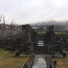
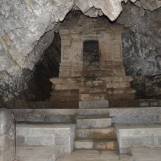
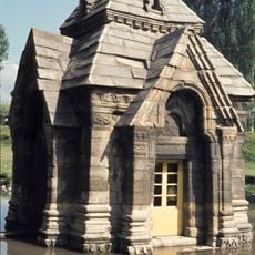
The name Banihal comes from Kashmiri language and references the snow storms that frequently strike this mountain area. Visitors can still see how this harsh climate has shaped the sparse landscape and the way any structures here have been built.

The pass becomes blocked by heavy snowfall during winter months, making the Jawahar Tunnel the more reliable option for crossing between regions. The best time to visit is from May through September, when the route is generally passable and safer to travel.

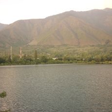
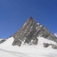
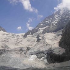
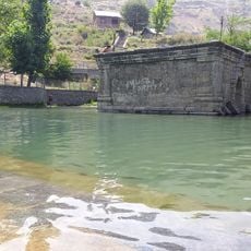
The Zaban Glacier nearby stretches about two kilometers and feeds the Bachliri Stream, an important tributary of the Chenab River. This glacier serves as a freshwater source in the otherwise sparse mountain landscape and significantly contributes to the local water system.

The community of curious travelers

AroundUs brings together thousands of curated places, local tips, and hidden gems, enriched daily by 60,000 contributors worldwide.

Start exploring
Elevation above the sea
2,832 m
GPS coordinates
33.51667,75.26667
Latest update
December 7, 2025 19:25
Reviews
Share your experience

No review yet

Discussions
Start a discussion...

No discussion yet

« Banihal Pass - Mountain pass in Pir Panjal Range, India » is provided by Around Us (aroundus.com). Images and texts are derived from Wikimedia project under a Creative Commons license. You are allowed to copy, distribute, and modify copies of this page, under the conditions set by the license, as long as this note is clearly visible.

Discover hidden gems everywhere you go!

From secret cafés to breathtaking viewpoints, skip the crowded tourist spots and find places that match your style. Our app makes it easy with voice search, smart filtering, route optimization, and insider tips from travelers worldwide. Download now for the complete mobile experience.

Around Us App Screenshot

A unique approach to discovering new places

Le Figaro

All the places worth exploring

France Info

A tailor-made excursion in just a few clicks

20 Minutes

Around Us
Travel Guide & Maps
Download

Send to your phone

QR Code
1

Open the camera app on your mobile.

2

Point at the QR code with your camera. A notification will appear.

3

Tap the notification to open the link.