Log in to your account

AroundUs is a community-driven map of interesting places, built by curious explorers like you. It grows with every review, story, and photo you share.
Connect to save your favorite spots, contribute locations, and create personalized routes.
Continue with Google
Continue with Apple
Continue with X
Continue with Facebook
Continue with email
By continuing, you accept our Terms and Conditions and our Privacy Policy
Create an account

Berhampore community development block

Add to collection
Map
Suggest a change
Share

Berhampore community development block, Administrative block in Berhampur subdivision, India.

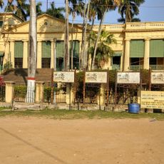
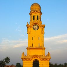
Berhampore is an administrative block in the Berhampur subdivision, extending across a fertile valley area along river systems. It comprises around 124 villages connected by road and water transport routes throughout the region.

The block was established during West Bengal's administrative reforms in the 1970s, which restructured land distribution and governance. These changes significantly shaped how agriculture and rural settlement developed across the territory.

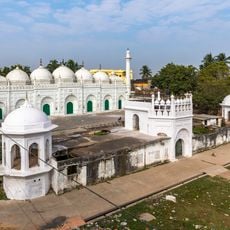
The area reflects Bengali traditions where people from different communities maintain their own celebrations and customs within village life. Local languages and regional practices shape how residents interact with each other and their surroundings.

Visitors can reach different villages using local buses and ferry services that operate regularly throughout the area. Most settlements have access to electricity and water supplies, ensuring basic facilities for travelers.

The region is known for silk weaving and handcrafted bell metal vessels, preserving traditional craft techniques passed down through generations. These artisanal practices continue to support livelihoods across the villages.

Location: Berhampur subdivision

Elevation above the sea: 22 m

Shares border with: Beldanga I community development block, Beldanga II community development block, Bharatpur I community development block, Kandi community development block, Nabagram community development block, Murshidabad-Jiaganj community development block, Raninagar I community development block, Domkal community development block, Hariharpara community development block

GPS coordinates: 24.10000,88.25000

Latest update: December 10, 2025 20:10

Photos
Reviews

Visited this place? Tap the stars to rate it and share your experience / photos with the community! Try now! You can cancel it anytime.

« Berhampore community development block - Administrative block in Berhampur subdivision, India » is provided by Around Us (aroundus.com). Images and texts are derived from Wikimedia project under a Creative Commons license. You are allowed to copy, distribute, and modify copies of this page, under the conditions set by the license, as long as this note is clearly visible.

Discover hidden gems everywhere you go!

From secret cafés to breathtaking viewpoints, skip the crowded tourist spots and find places that match your style. Our app makes it easy with voice search, smart filtering, route optimization, and insider tips from travelers worldwide. Download now for the complete mobile experience.

Around Us App Screenshot

A unique approach to discovering new places

Le Figaro

All the places worth exploring

France Info

A tailor-made excursion in just a few clicks

20 Minutes