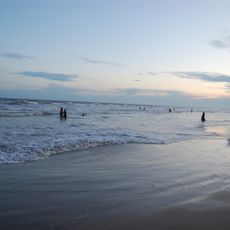
False Divi Point, Coastal headland in Krishna district, Andhra Pradesh, India
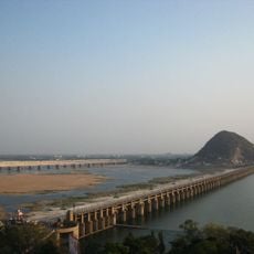
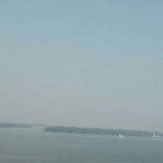
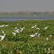
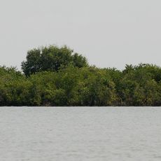
False Divi Point is a low-lying headland on the coast of Andhra Pradesh, India, located where the Krishna River meets the Bay of Bengal. The shoreline here is fringed by mangrove swamps and wetlands that extend well inland, giving the area a marshy, delta-like character.
The headland appeared on European nautical charts in the 1700s, when sailors navigating the Coromandel Coast used it as a landmark. Its name was chosen to set it apart from the nearby Divi Point, as the two capes were sometimes confused by ships passing along the coast.
Fishing communities along this stretch of coast still use the headland as a reference point when heading out to sea, a habit passed down through generations. The mangroves nearby are also harvested in small quantities for local use, which shapes how people move through the area.
The area is easiest to visit between October and May, when the ground is drier and paths are more passable. Sturdy footwear and insect protection are essential because the mangrove terrain stays wet and muddy throughout much of the year.
Despite sitting barely above sea level, this point marks the northern end of the Coromandel Coast, one of the longest unbroken stretches of shoreline on the Indian subcontinent. That boundary position made it a reference point not just for local fishers but for ships sailing between the Bay of Bengal and Sri Lanka.
The community of curious travelers
AroundUs brings together thousands of curated places, local tips, and hidden gems, enriched daily by 60,000 contributors worldwide.