Kali Sindh River, River system in Madhya Pradesh and Rajasthan, India
The Kali Sindh River flows for about 230 kilometers through the Malwa region, beginning in the Vindhya Range near Bagli. It winds through different landscapes before merging with the Chambal River, passing through both Madhya Pradesh and Rajasthan.
The river formed natural boundaries between administrative districts since ancient times and connected historical settlements like Sonkatch, Sundersi, and Sarangpur. This geographic role shaped regional patterns over centuries.
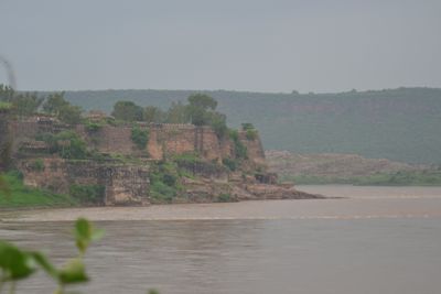
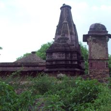
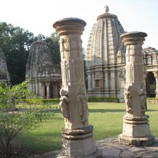
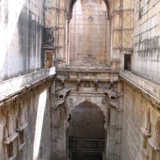
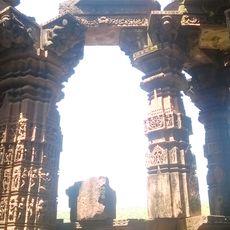
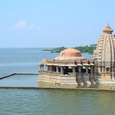
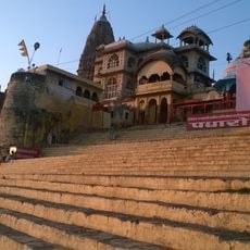
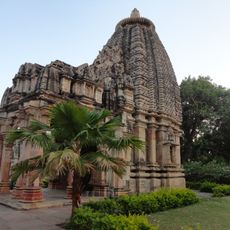
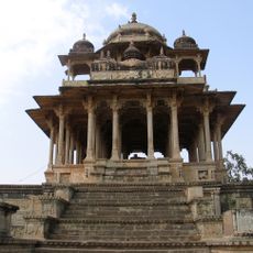
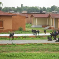
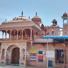
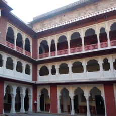
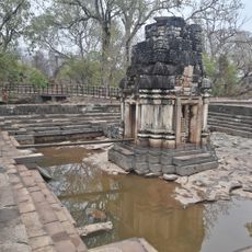
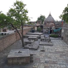
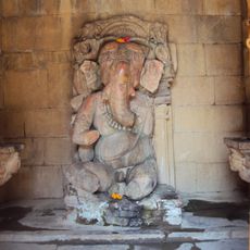
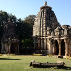
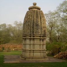
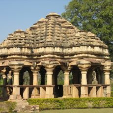
Many temples and shrines line the banks and serve as gathering places for local communities during festivals and religious ceremonies. These sacred sites shape the spiritual life of people living along the river today.
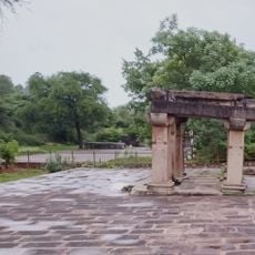
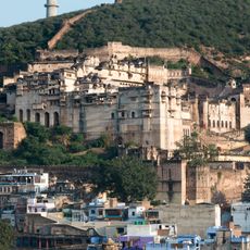
The Kalisindh Dam in Jhalawar district manages water flow for agricultural irrigation across many villages in both states. Visitors can observe the dam structure and understand how water is managed for farming in this region.
Natural bauxite deposits occur along certain sections of the riverbank in Kota district, making the area of geological interest. These mineral formations are evidence of the diverse geological history beneath this region.
The community of curious travelers
AroundUs brings together thousands of curated places, local tips, and hidden gems, enriched daily by 60,000 contributors worldwide.