Log in to your account

AroundUs is a community-driven map of interesting places, built by curious explorers like you. It grows with every review, story, and photo you share.
Connect to save your favorite spots, contribute locations, and create personalized routes.
Continue with Google
Continue with Apple
Continue with X
Continue with Facebook
Continue with email
By continuing, you accept our Terms and Conditions and our Privacy Policy
Create an account

Nalhati I community development block

Add to collection
Map
Suggest a change
Share

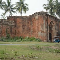
Nalhati I community development block, Administrative block in Rampurhat subdivision, India

Nalhati I is an administrative block in Birbhum district that covers rural land organized into around 94 villages with their own local councils. The block provides basic infrastructure and governance structure to serve its population of over 200,000 people.

This administrative block was created as part of West Bengal's governance structure and has served as a local administration unit ever since. Its establishment shaped how the district's rural areas are managed and organized today.

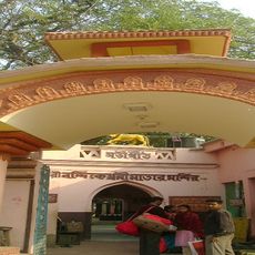
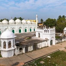
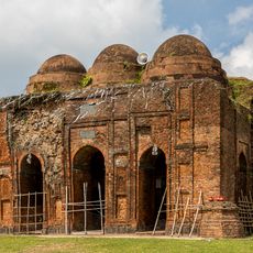
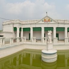
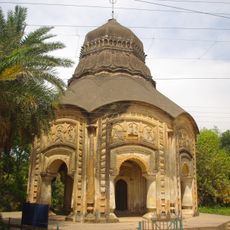
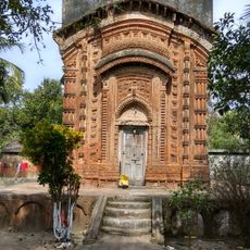
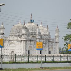
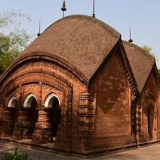
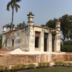
The area brings together different religious communities who share the same language and local traditions passed down through generations. Bengali culture shapes daily life, from how people communicate to celebrations and regular practices in the villages.

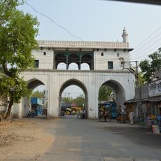
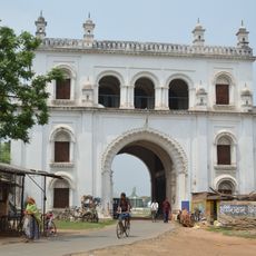
The area has several health centers scattered across villages that provide basic medical care for residents. Visitors should expect rural roads and limited transport connections typical of agricultural areas.

The area has deep roots in farming, with wheat cultivation playing an important role in local livelihoods across the villages. This agricultural foundation continues to shape how people work and sustain their families.

Location: Rampurhat subdivision

Shares border with: Nalhati II community development block, Murarai I community development block, Murarai II community development block, Rampurhat I community development block, Rampurhat II community development block

GPS coordinates: 24.33630,87.81340

Latest update: December 11, 2025 18:06

Photos
Reviews

Visited this place? Tap the stars to rate it and share your experience / photos with the community! Try now! You can cancel it anytime.

« Nalhati I community development block - Administrative block in Rampurhat subdivision, India » is provided by Around Us (aroundus.com). Images and texts are derived from Wikimedia project under a Creative Commons license. You are allowed to copy, distribute, and modify copies of this page, under the conditions set by the license, as long as this note is clearly visible.

Discover hidden gems everywhere you go!

From secret cafés to breathtaking viewpoints, skip the crowded tourist spots and find places that match your style. Our app makes it easy with voice search, smart filtering, route optimization, and insider tips from travelers worldwide. Download now for the complete mobile experience.

Around Us App Screenshot

A unique approach to discovering new places

Le Figaro

All the places worth exploring

France Info

A tailor-made excursion in just a few clicks

20 Minutes