
Kallur mandal, mandal in Kurnool district of Andhra Pradesh, India
Location: Kurnool district
Capital city: Kalluru
GPS coordinates: 15.80000,78.03200
Latest update: March 18, 2025 10:48
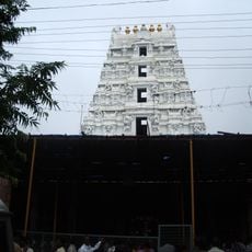
Mallikarjuna Temple
94.6 km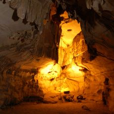
Belum Caves
78.1 km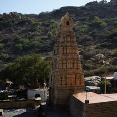
Yaganti Temple
51.3 km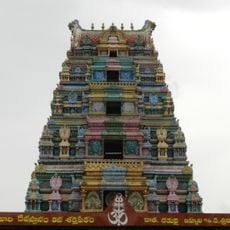
Alampur Jogulamba Temple
13.7 km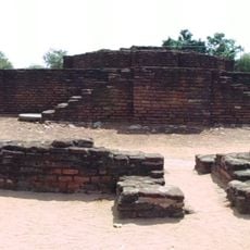
Nagarjunakonda
152 km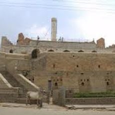
Konda Reddy Fort
4.2 km
Chowdeshwari Temple at Nandavaram
54.4 km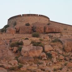
Bellary Fort
140.5 km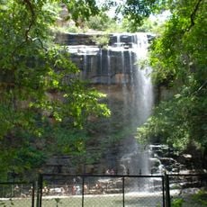
Mallela Theertham
102.3 km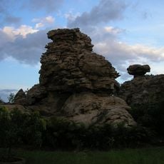
Orvakal Rock Garden, Kurnool
17.7 km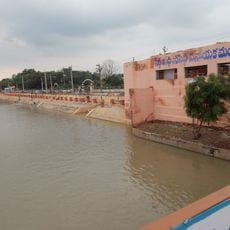
K. C. Canal
23.6 km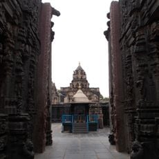
Bugga Ramalingeswara temple
98.1 km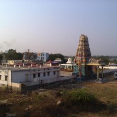
Beechupally
41.6 km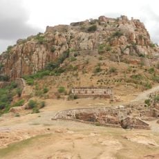
Gooty Fort
87.1 km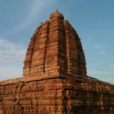
Alampur Navabrahma Temples
13.5 km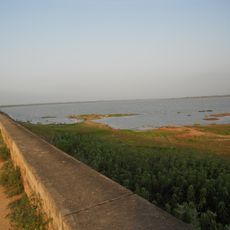
Dindi Reservoir
108 km
Galeru Nagari Sujala Sravanthi Project
112.9 km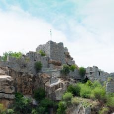
Raichur Fort
83.7 km
Chintala Venkataramana Temple, Tadipatri
99 km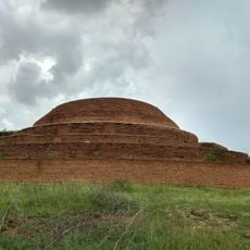
Chandavaram Buddhist site
150.2 km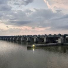
Sunkesula Barrage
23.6 km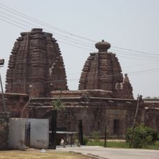
Alampur Papanasi Temples
12.5 km
Anantapur clock tower
133.1 km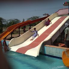
Aqua Fun
147.2 km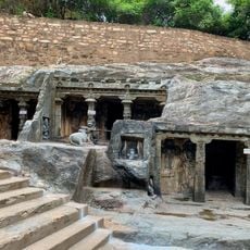
Bhairavakonda Caves
148.3 km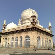
Abdul Wahab Khan's Tomb
3.4 km
Sri Lakshmi Narasimha Swamy Temple, Ahobilam
101.2 km
Yaganti Caves
51.3 kmReviews
Visited this place? Tap the stars to rate it and share your experience / photos with the community! Try now! You can cancel it anytime.
Discover hidden gems everywhere you go!
From secret cafés to breathtaking viewpoints, skip the crowded tourist spots and find places that match your style. Our app makes it easy with voice search, smart filtering, route optimization, and insider tips from travelers worldwide. Download now for the complete mobile experience.

A unique approach to discovering new places❞
— Le Figaro
All the places worth exploring❞
— France Info
A tailor-made excursion in just a few clicks❞
— 20 Minutes