Enable Location

We need your location to show you interesting places around you

Discover nearby places

Find interesting locations and hidden gems around you

Precise directions

Get accurate directions and distances to places

Your location is never shared with other users. It's only used when you tap the location button.

Nagayalanka mandal

Log in to your account

Start exploring — it's free

Trusted by 63,091 travelers worldwide

Continue with Google
Continue with Apple
or

We will send you a code to connect

By continuing, you accept our Terms and Conditions and our Privacy Policy

Check your inbox

We've sent a pincode in your inbox. Please enter the code below.

Nagayalanka mandal
Discussion Reviews 1 Photos
2.6k Popularity

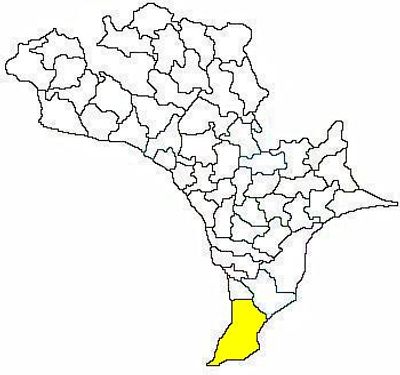
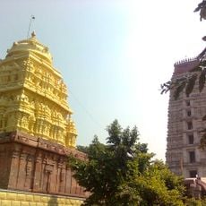
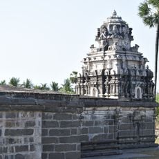
Nagayalanka mandal, Administrative region in Krishna district, India.

Nagayalanka mandal is an administrative region in Krishna district that encompasses eleven villages spread across a broad area near the Bay of Bengal coast. The mandal functions as a local governance zone with Nagayalanka town serving as its main administrative center.

This mandal was established as a local administrative division within Krishna district to manage governance across multiple villages. Over time it became an important center for regional administration and local services in the area.

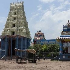
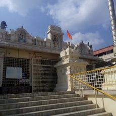
Telugu serves as the primary language among the 47,899 residents, with Hinduism practiced by 93 percent of the local population.

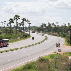
The region operates under the Machilipatnam administrative division with organized local services and infrastructure. Visitors will find roads connecting the various villages and linking to major areas nearby.

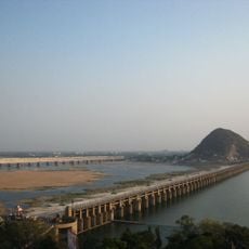
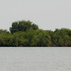
This region sits where the Krishna River meets the Bay of Bengal, positioned in a flat coastal landscape. The confluence location creates a unique meeting point between river and ocean that shapes the local environment.

The community of curious travelers

AroundUs brings together thousands of curated places, local tips, and hidden gems, enriched daily by 60,000 contributors worldwide.

Start exploring
Location
Capital city
Nagayalanka
Elevation above the sea
6 m
Shares border with
Avanigadda
GPS coordinates
15.95000,80.91670
Latest update
December 12, 2025 16:41
Reviews
Share your experience

No review yet

Discussions
Start a discussion...

No discussion yet

« Nagayalanka mandal - Administrative region in Krishna district, India » is provided by Around Us (aroundus.com). Images and texts are derived from Wikimedia project under a Creative Commons license. You are allowed to copy, distribute, and modify copies of this page, under the conditions set by the license, as long as this note is clearly visible.

Discover hidden gems everywhere you go!

From secret cafés to breathtaking viewpoints, skip the crowded tourist spots and find places that match your style. Our app makes it easy with voice search, smart filtering, route optimization, and insider tips from travelers worldwide. Download now for the complete mobile experience.

Around Us App Screenshot

A unique approach to discovering new places

Le Figaro

All the places worth exploring

France Info

A tailor-made excursion in just a few clicks

20 Minutes

Around Us
Travel Guide & Maps
Download

Send to your phone

QR Code
1

Open the camera app on your mobile.

2

Point at the QR code with your camera. A notification will appear.

3

Tap the notification to open the link.