
East Wall of Cachari ruins
Location: Cachar district
Part of: Cachari Ruins
GPS coordinates: 24.93945,92.93103
Latest update: March 9, 2025 07:17

Keibul Lamjao National Park
104.9 km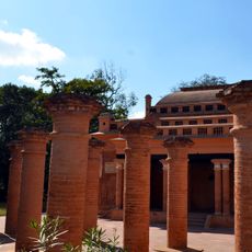
Kangla Fort
102.9 km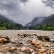
Jaflong
95.4 km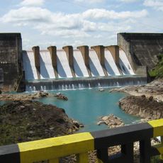
Kopili Hydro Electric Project
72.1 km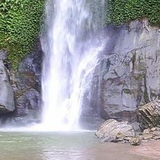
Madhabkunda waterfall
79.2 km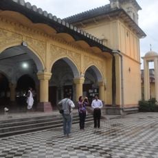
Shree Govindajee Temps
104 km
Khuman Lampak Main Stadium
104 km
Pakhangba Temple
103 km
Tamabil, Sylhet
88.6 km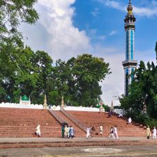
Shahi Eidgah
106.1 km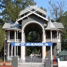
Kangla Sanathong
102.9 km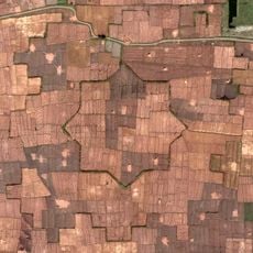
Bihu Loukon
91 km
Serlui B Dam
68.9 km
Loktak Folklore Museum
100.8 km
Manipur State Museum
102.7 km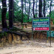
Tilagor Eco Park
103.4 km
Sylheti cuisine
17.7 km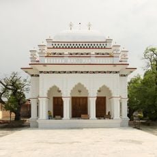
Ningthoukhong Gopinath Mandir
85.5 km
Osmany Museum
106.5 km
Sadarghat Bridge
17.6 km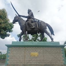
Statue of Meidingu Nara Singh
102.8 km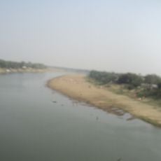
Cachar Club
18 km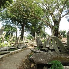
Stone memorial of U-Mawthoh-dur briew
100.8 km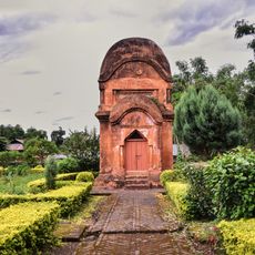
Vishnu Temple
91 km
Ek Patthar Ghar
46.7 km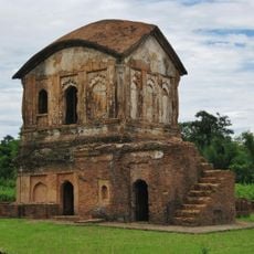
Cachari Ruins
45 m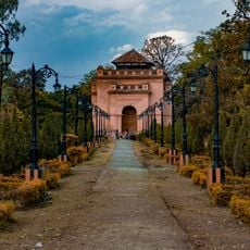
Imphal
103.4 km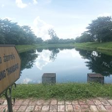
Manung Thangapat
103.1 kmReviews
Visited this place? Tap the stars to rate it and share your experience / photos with the community! Try now! You can cancel it anytime.
Discover hidden gems everywhere you go!
From secret cafés to breathtaking viewpoints, skip the crowded tourist spots and find places that match your style. Our app makes it easy with voice search, smart filtering, route optimization, and insider tips from travelers worldwide. Download now for the complete mobile experience.

A unique approach to discovering new places❞
— Le Figaro
All the places worth exploring❞
— France Info
A tailor-made excursion in just a few clicks❞
— 20 Minutes