
Hammam
Location: Agra district
Part of: Fatehpur Sikri
GPS coordinates: 27.09608,77.66483
Latest update: April 29, 2025 02:37
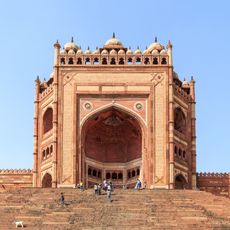
Buland Darwaza
288 m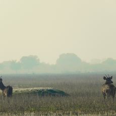
Kevladev National Park
16.6 km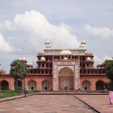
Akbar's Tomb
31.5 km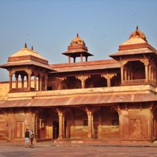
Jodha Bai Mahal
47 m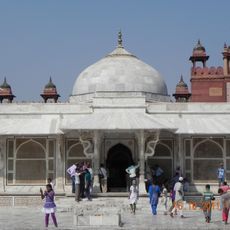
Tomb of Salim Chishti
231 m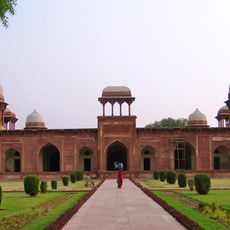
Tomb of Mariam-uz-Zamani
30.6 km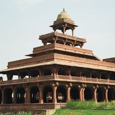
Panch Mahal
153 m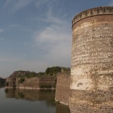
Lohagarh Fort
21.7 km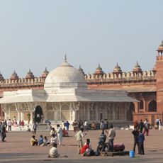
Jama Masjid, Fatehpur Sikri
319 m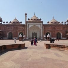
Jama Masjid
36.1 km
Guru ka Tal
32.6 km
Mankameshwar Temple
36.3 km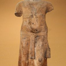
Parkham Yaksha
21.9 km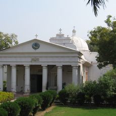
Akbar's Church
36 km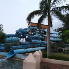
Dolphin Water Park
25.6 km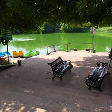
Paliwal Park
36.5 km
Agra Bear Rescue Facility
24.2 km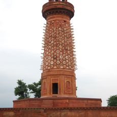
Hiran Minar
366 m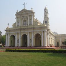
Cathedral of the Immaculate Conception of Agra
36 km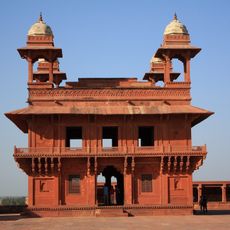
Diwan-i-Khas
230 m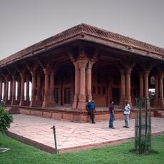
Daftarkhana
112 m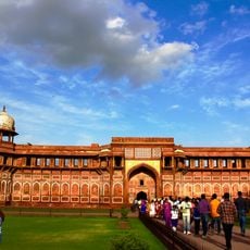
Akbari Mahal
36.5 km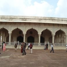
Diwan-i-Khas
36.5 km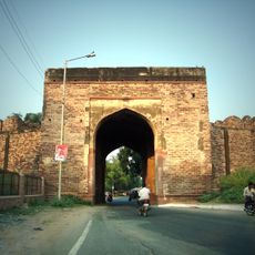
Agra Gate
1.3 km
John Russell Colvin's tomb
36.5 km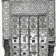
Somnath Gates
36.5 km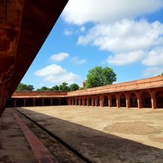
Horse stables, Camel stables & Hammam
187 m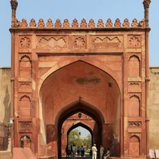
Chitor Gates
36.5 kmReviews
Visited this place? Tap the stars to rate it and share your experience / photos with the community! Try now! You can cancel it anytime.
Discover hidden gems everywhere you go!
From secret cafés to breathtaking viewpoints, skip the crowded tourist spots and find places that match your style. Our app makes it easy with voice search, smart filtering, route optimization, and insider tips from travelers worldwide. Download now for the complete mobile experience.

A unique approach to discovering new places❞
— Le Figaro
All the places worth exploring❞
— France Info
A tailor-made excursion in just a few clicks❞
— 20 Minutes