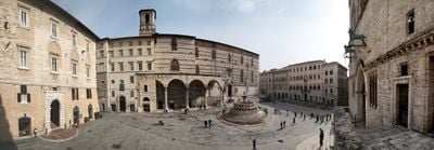
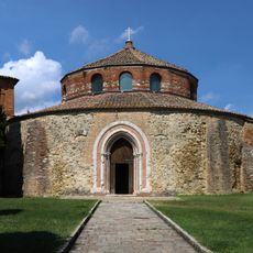
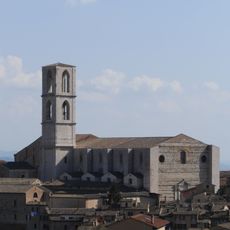
Perugia, Medieval university city in Umbria, Italy
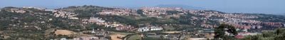
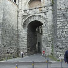
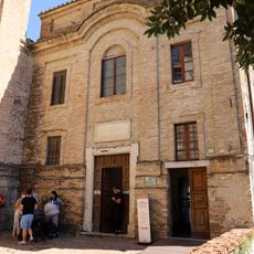
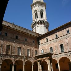
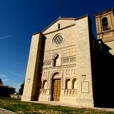
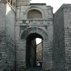
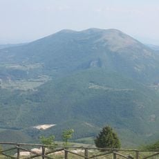
A university city in the Umbria region sits atop a hill 493 meters (1,617 feet) above sea level, with stone walls encircling the center and valleys spreading below the elevation. Narrow staircases connect the lower sections to the upper alleys, where archways and pale stone facades frame the views.
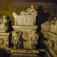
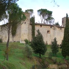
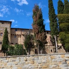
Etruscan settlers founded the place in 310 BCE as one of their twelve confederate cities, serving trade and exchange across the region. In the 16th century, papal forces built the Rocca Paolina fortress after an uprising, burying parts of the old town beneath its vaults.
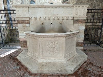
The Umbria Jazz festival fills the streets and squares with music in mid-July, when visitors walk between concerts along the steps and beneath the historic facades. Small artisan workshops in the side alleys still produce handmade ceramics and textiles that follow local traditions from the region.
An automated transport system called Minimetrò links valley stations to the upper historic center through seven stops across the city. Walking through the old town requires comfortable shoes, as many streets climb steeply and are paved with uneven stone.
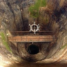
Underground escalators wind through the Rocca Paolina, passing through vaulted rooms, remnants of streets, and house foundations that have been buried beneath modern street level since the 16th century. These tunnels open occasionally to small squares where old wall sections remain visible.
The community of curious travelers
AroundUs brings together thousands of curated places, local tips, and hidden gems, enriched daily by 60,000 contributors worldwide.