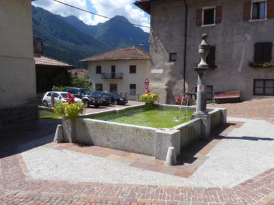
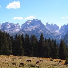
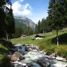
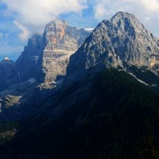
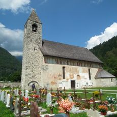
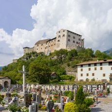
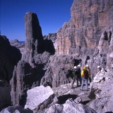
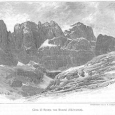
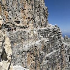
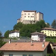
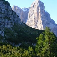
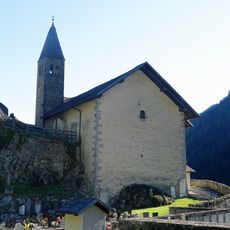
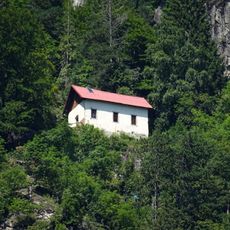
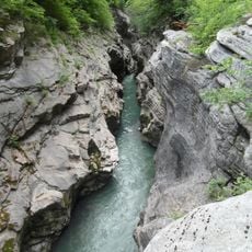
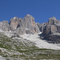
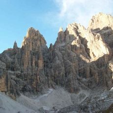
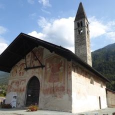
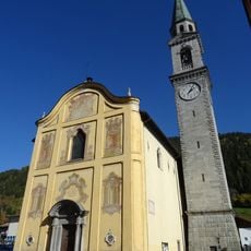
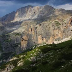
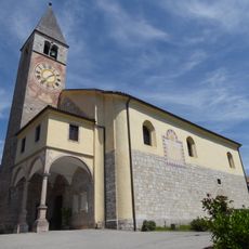
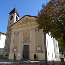
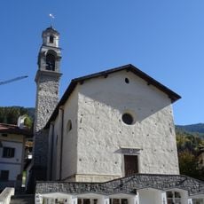
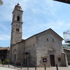
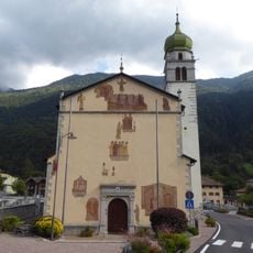
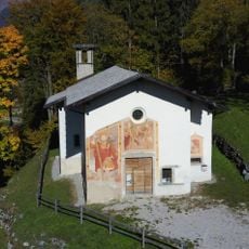
Tre Ville, Italian comune
Location: Trentino
Capital city: Ragoli
Elevation above the sea: 556 m
Shares border with: Bocenago, Borgo Lares, Comano Terme, Dimaro Folgarida, Molveno, Pelugo, Pinzolo, Porte di Rendena, San Lorenzo Dorsino, Spiazzo, Stenico, Tione di Trento, Ville d'Anaunia
Website: http://comunetreville.tn.it
GPS coordinates: 46.06667,10.75000
Latest update: March 3, 2025 10:21
Brenta group
13.7 km
Parco naturale provinciale dell' Adamello Brenta
19.1 km
Cima Tosa
13.7 km
Saint Vigilius church
11 km
Castello di Stenico
8.1 km
Campanile Basso
15.4 km
Cima Brenta
17.1 km
Via ferrata delle Bocchette Centrali
15.6 km
Stenico Castle
8.1 km
Crozzon di Brenta
14 km
Saint Stephen church
11.8 km
Saint Martin hermitage
12.4 km
Limarò Canyon
11.6 km
Cima d'Ambiez
13.1 km
Campanile Alto
15.5 km
Saint Anthony the Great church
3.2 km
Ponte dei Servi
11.3 km
Saint Vigilius church
3.2 km
Torre di Brenta
15.9 km
Saint Lawrence church
10.4 km
Cima Brenta Alta
15.4 km
Cima Pietra Grande
21.5 km
Santa Maria Assunta church
11.1 km
Saint Blaise church
7 km
Saint Lucy church
9.3 km
Old Saint George church
11.3 km
Saint Vigilius church
4.1 km
Saint John the Baptist church
9 kmReviews
Visited this place? Tap the stars to rate it and share your experience / photos with the community! Try now! You can cancel it anytime.
Discover hidden gems everywhere you go!
From secret cafés to breathtaking viewpoints, skip the crowded tourist spots and find places that match your style. Our app makes it easy with voice search, smart filtering, route optimization, and insider tips from travelers worldwide. Download now for the complete mobile experience.
A unique approach to discovering new places❞
— Le Figaro
All the places worth exploring❞
— France Info
A tailor-made excursion in just a few clicks❞
— 20 Minutes