·

Enable Location

We need your location to show you interesting places around you

Discover nearby places

Find interesting locations and hidden gems around you

Precise directions

Get accurate directions and distances to places

Your location is never shared with other users. It's only used when you tap the location button.

Nanmoku

Log in to your account

Start exploring — it's free

Trusted by 62,725 travelers worldwide

Continue with Google
Continue with Apple
or

We will send you a code to connect

By continuing, you accept our Terms and Conditions and our Privacy Policy

Check your inbox

We've sent a pincode in your inbox. Please enter the code below.

Nanmoku

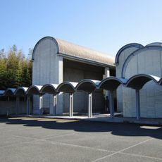
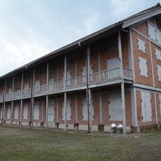
Nanmoku, Rural village in Kanra district, Japan

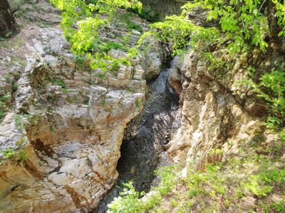
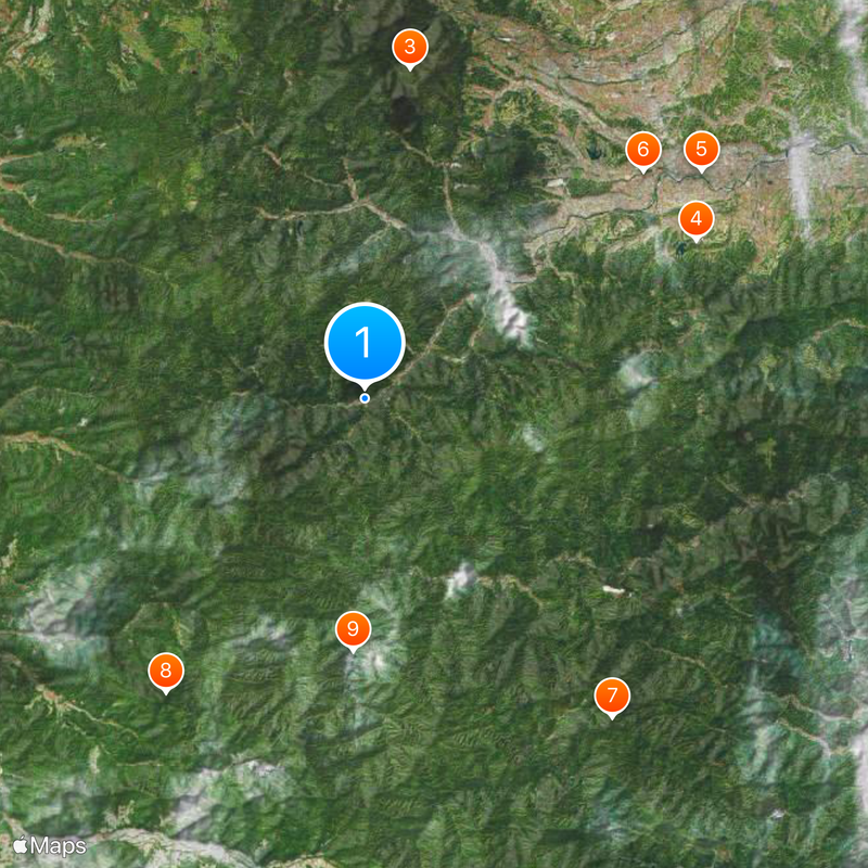
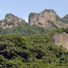
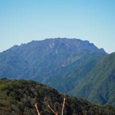
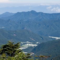
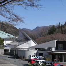
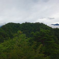
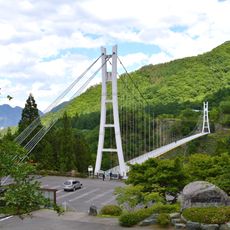
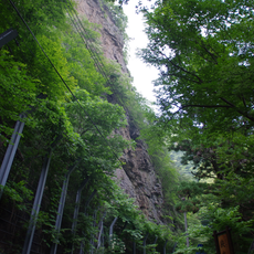
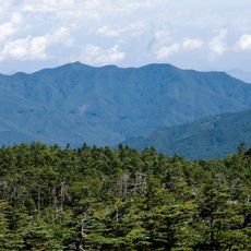
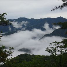
Nanmoku is a rural village located in the Kanra district of southwestern Gunma Prefecture. The settlement spreads across mountainous terrain nestled between Mount Arafune and Mount Hikage peaks.

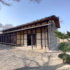
The village was established on March 15, 1955, through the merger of three former communities: Iwado, Tsukigata, and Ozawa, which previously belonged to Kozuke Province. This consolidation created the modern administrative structure that exists today.

The Hitoboshi fire festival takes place on August 14 and 15 during Obon, bringing former residents and visitors together to honor the village's connection with the Takeda clan. Through this celebration, the community keeps alive the ties that bind it to its past.

The nearest railway station is in the neighboring town of Shimonita, so having your own car is essential to reach this settlement. Roads wind through mountainous terrain, so plan for longer travel times when visiting.

The population here is remarkably aged, with most residents over 65 and a median age around 68 years. This demographic situation makes the village a striking example of how aging affects rural communities across Japan.

The community of curious travelers

AroundUs brings together thousands of curated places, local tips, and hidden gems, enriched daily by 60,000 contributors worldwide.

Start exploring
Location
Location
Inception
March 15, 1955
Shares border with
Shimonita, Kanna, Ueno, Saku, Sakuho
GPS coordinates
36.15861,138.71139
Latest update
December 17, 2025 10:27
« Nanmoku - Rural village in Kanra district, Japan » is provided by Around Us (aroundus.com). Images and texts are derived from Wikimedia project under a Creative Commons license. You are allowed to copy, distribute, and modify copies of this page, under the conditions set by the license, as long as this note is clearly visible.

Discover hidden gems everywhere you go!

From secret cafés to breathtaking viewpoints, skip the crowded tourist spots and find places that match your style. Our app makes it easy with voice search, smart filtering, route optimization, and insider tips from travelers worldwide. Download now for the complete mobile experience.

Around Us App Screenshot

A unique approach to discovering new places

Le Figaro

All the places worth exploring

France Info

A tailor-made excursion in just a few clicks

20 Minutes

Around Us
Travel Guide & Maps
Download

Send to your phone

QR Code
1

Open the camera app on your mobile.

2

Point at the QR code with your camera. A notification will appear.

3

Tap the notification to open the link.