Enable Location

We need your location to show you interesting places around you

Discover nearby places

Find interesting locations and hidden gems around you

Precise directions

Get accurate directions and distances to places

Your location is never shared with other users. It's only used when you tap the location button.

Kita-ku

Log in to your account

Start exploring — it's free

Trusted by 62,972 travelers worldwide

Continue with Google
Continue with Apple
or

We will send you a code to connect

By continuing, you accept our Terms and Conditions and our Privacy Policy

Check your inbox

We've sent a pincode in your inbox. Please enter the code below.

Discussion Reviews 2 Photos
27.5k Popularity

Kita-ku, Administrative ward in Kyoto, Japan

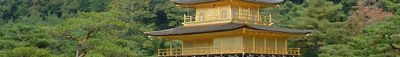
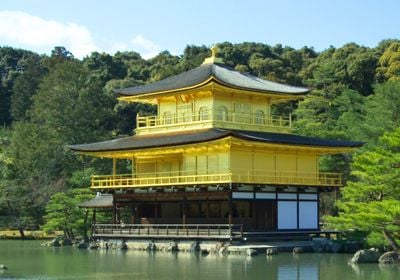
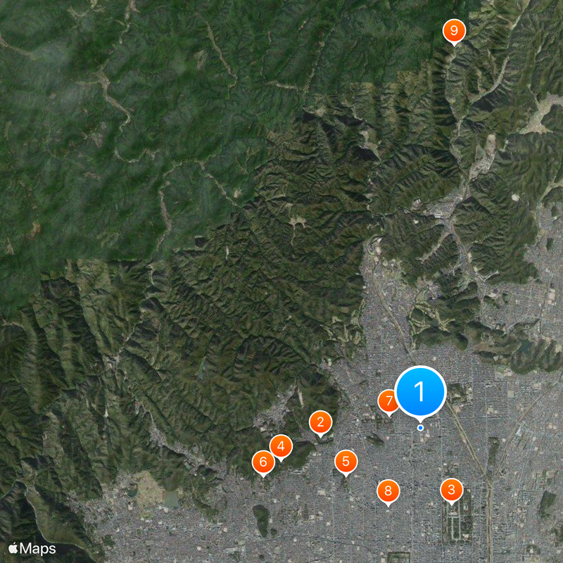
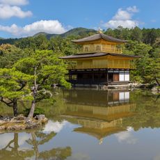
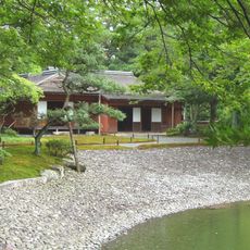
Kita-ku is an administrative ward north of Kyoto that includes neighborhoods like Kamigamo, Kinugasa, and Takagamine spread across hilly terrain. The ward mixes urban areas with dense residential zones and mountainous regions, creating a varied spatial structure.

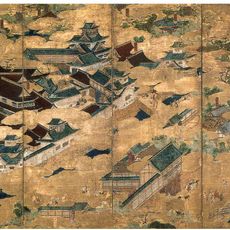
The ward was established in 1955 and formed part of Kyoto during its time as Japan's capital from 794 to 1869. This long period shaped the region's architectural and cultural development.

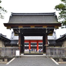
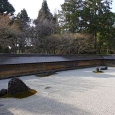
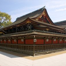
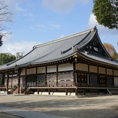
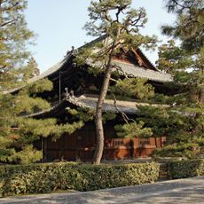
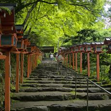
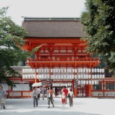
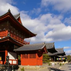
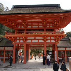
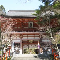
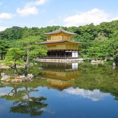
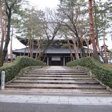
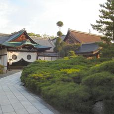
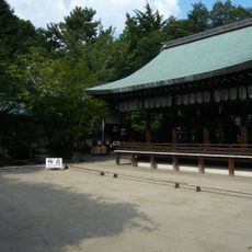
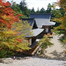
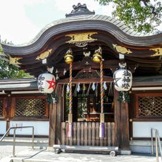
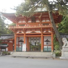
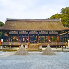
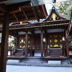
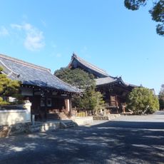
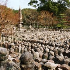
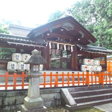
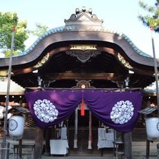
The ward is home to universities and traditional shrines that shape religious and intellectual life in the neighborhoods. Visitors can observe how these institutions blend into everyday community spaces and influence local character.

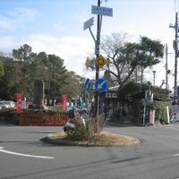
The area connects to central Kyoto through several railway lines and subway stations, making it easy to move between different neighborhoods. Terrain varies from flat urban areas to steeper mountainous zones, so visitors should choose their routes based on interest and comfort.

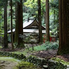
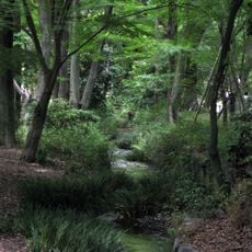
The area contains both densely populated city neighborhoods and extensive forest areas and mountain slopes, creating strong environmental contrasts within one ward. This mix makes it possible to shift from urban activity to rural calm in just minutes.

The community of curious travelers

AroundUs brings together thousands of curated places, local tips, and hidden gems, enriched daily by 60,000 contributors worldwide.

Start exploring
Location
Inception
September 1, 1955
Shares border with
Kamigyō-ku, Sakyō-ku, Nakagyō Ward, Ukyō Ward
GPS coordinates
35.04111,135.75417
Latest update
December 20, 2025 13:43
Reviews
Share your experience

No review yet

Discussions
Start a discussion...

No discussion yet

« Kita-ku - Administrative ward in Kyoto, Japan » is provided by Around Us (aroundus.com). Images and texts are derived from Wikimedia project under a Creative Commons license. You are allowed to copy, distribute, and modify copies of this page, under the conditions set by the license, as long as this note is clearly visible.

Discover hidden gems everywhere you go!

From secret cafés to breathtaking viewpoints, skip the crowded tourist spots and find places that match your style. Our app makes it easy with voice search, smart filtering, route optimization, and insider tips from travelers worldwide. Download now for the complete mobile experience.

Around Us App Screenshot

A unique approach to discovering new places

Le Figaro

All the places worth exploring

France Info

A tailor-made excursion in just a few clicks

20 Minutes

Around Us
Travel Guide & Maps
Download

Send to your phone

QR Code
1

Open the camera app on your mobile.

2

Point at the QR code with your camera. A notification will appear.

3

Tap the notification to open the link.