Enable Location

We need your location to show you interesting places around you

Discover nearby places

Find interesting locations and hidden gems around you

Precise directions

Get accurate directions and distances to places

Your location is never shared with other users. It's only used when you tap the location button.

Log in to your account

Start exploring — it's free

Trusted by 62,011 travelers worldwide

Continue with Google
Continue with Apple
or

We will send you a code to connect

By continuing, you accept our Terms and Conditions and our Privacy Policy

Check your inbox

We've sent a pincode in your inbox. Please enter the code below.

Yamato Province, Historical province in Kinai, Japan

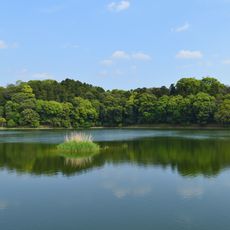
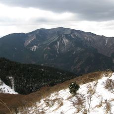
This former administrative territory covered the area of present-day Nara Prefecture on Honshu island, including flat plains and forested hills reaching south to Mount Yoshino. The territory lay centrally within the Kinai region and formed the political heartland of early Japan.

Local clans established the early center of imperial authority here during the 6th century and brought neighboring areas under their control. In 737, the government changed the written form of the name to adopt a more respectful version in official documents.

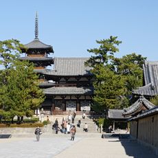
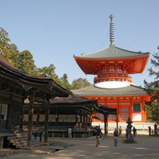
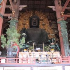
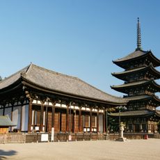
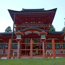
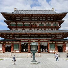
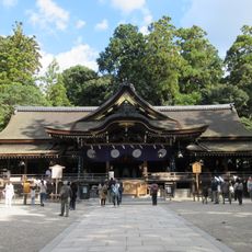
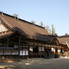
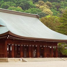
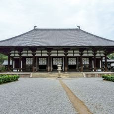
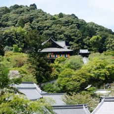
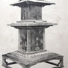
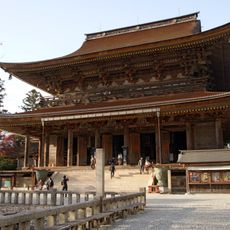
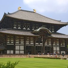
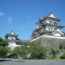
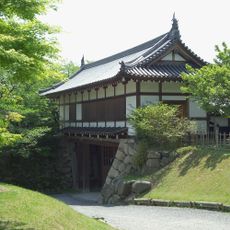
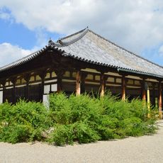
The name derives from ancient characters that designated the early center of imperial rule in Japan. Visitors today can explore temples and shrines throughout the Nara region that trace back to this era and still draw pilgrims.

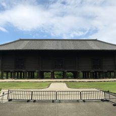
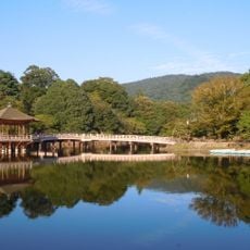
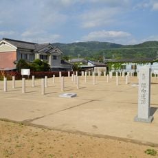
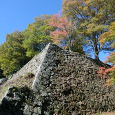
The former provincial boundaries can be traced today through temples, burial mounds and archaeological sites across Nara Prefecture. Many of these locations are accessible via public pathways and visitor centers that explain the historical context.

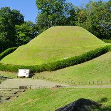
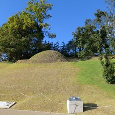
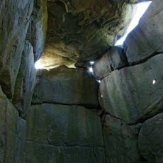
The Kofun period left large burial mounds across the territory, some of which remain unopened and preserve their secrets. Archaeologists believe many of these mounds may contain important artifacts that could reveal details about early social structure.

The community of curious travelers

AroundUs brings together thousands of curated places, local tips, and hidden gems, enriched daily by 60,000 contributors worldwide.

Start exploring
Location
Kinai
Inception
716
Capital city
Wakigami
Part of
Taikoku, Kinai
Shares border with
Ise Province, Kii Province, Iga Province, Kawachi Province, Yamashiro Province
GPS coordinates
34.32778,135.90611
Latest update
December 12, 2025 23:47
« Yamato Province - Historical province in Kinai, Japan » is provided by Around Us (aroundus.com). Images and texts are derived from Wikimedia project under a Creative Commons license. You are allowed to copy, distribute, and modify copies of this page, under the conditions set by the license, as long as this note is clearly visible.

Discover hidden gems everywhere you go!

From secret cafés to breathtaking viewpoints, skip the crowded tourist spots and find places that match your style. Our app makes it easy with voice search, smart filtering, route optimization, and insider tips from travelers worldwide. Download now for the complete mobile experience.

Around Us App Screenshot

A unique approach to discovering new places

Le Figaro

All the places worth exploring

France Info

A tailor-made excursion in just a few clicks

20 Minutes

Around Us
Travel Guide & Maps
Download

Send to your phone

QR Code
1

Open the camera app on your mobile.

2

Point at the QR code with your camera. A notification will appear.

3

Tap the notification to open the link.