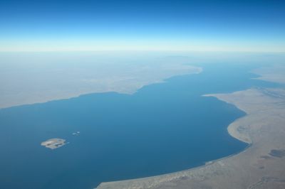
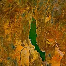
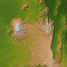
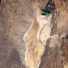
Turkana County, Administrative division in northwestern Kenya
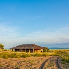
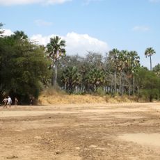
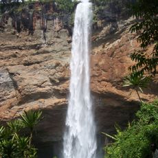
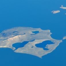
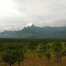
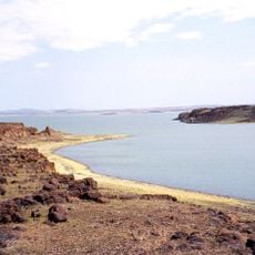
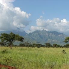
Turkana County is an administrative division in northwestern Kenya characterized by vast semi-arid terrain and varied landscapes. The region encompasses large areas of open land shaped by pastoral communities and natural features.
The region came under British control during the 1920s, which restricted population movement and introduced new administrative frameworks. This period significantly shaped the current arrangement of settlements and administrative boundaries.
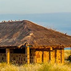
The Turkana people sustain a pastoral way of life centered on herding livestock, which remains integral to their daily routines and social structures. You can observe these traditions throughout the county in how communities organize their lives around their animals.
The best access to the region is through Lodwar, the administrative hub and main point of entry for visitors. From there, you can explore the surrounding areas, though roads can be rough and distances are substantial.
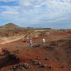
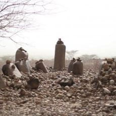
The region contains archaeological sites with stone tools reaching back 3.3 million years, representing some of the oldest evidence of human tool-making. These discoveries provide insight into humanity's earliest history.
The community of curious travelers
AroundUs brings together thousands of curated places, local tips, and hidden gems, enriched daily by 60,000 contributors worldwide.