Ala-Archa National Park, National park in Chuy Region, Kyrgyzstan
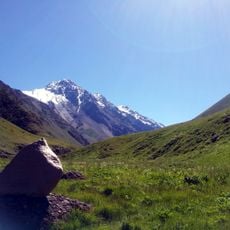
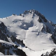
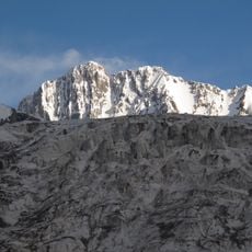
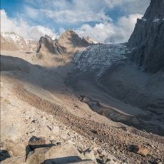
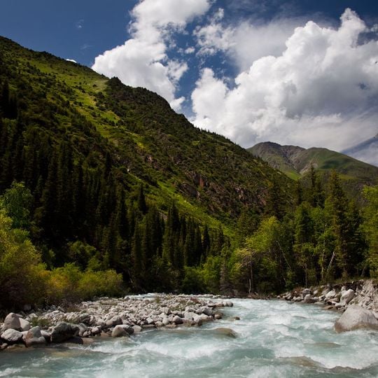
Ala-Archa is a national park on the northern slope of the Kyrgyz Ala-Too range, 35 km south of Bishkek. It covers 16,485 hectares, from about 1,500 m at the entrance to 4,895 m at Semenov-Tian-Shansky Peak. The Ala-Archa river runs through the gorge, fed by more than 20 glaciers; the Adygene and Ak-Sai rivers also rise from their meltwater. The photograph shows the steep, green mountainside above the pale blue-white river, with gray boulders on the near bank.
The park was created by a decree of the Council of Ministers of the Kirghiz SSR on 29 April 1976, initially covering 19,400 hectares. Its forest land now amounts to 1,316 hectares, while non-forest land covers 970 hectares. The protected area was established on the northern slope of the Kyrgyz Ala-Too range, and the Ala-Archa river flows through it.
The park takes its name from the Ala-Archa river; archa is the Kyrgyz word for juniper, a tree held in esteem in Kyrgyz folklore. Smoke from burning juniper wood is traditionally used to chase away evil spirits, and the tree is not planted near homes because it is believed to slowly deplete the energy of those living close by.
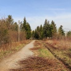
The asphalt road from Bishkek runs 12 km past the entrance gate to a cluster of buildings with a renovated lodge; from there a trail heads east to the Ak-Sai Glacier and the Ratsek Hut, used as a climbers' base. A trail west of the valley leads to the Adygene valley and a climbers' cemetery. Campfires are banned; gas stoves are provided instead, and only electric vehicles may enter.
A park camera photographed a snow leopard for the first time in May 2017, in the alpine meadows and snowfields above 2,500 m. The park also holds a small reservoir on the Kargay-Bulak river, built to study the Amu Darya trout.
The community of curious travelers
AroundUs brings together thousands of curated places, local tips, and hidden gems, enriched daily by 93,181 contributors worldwide.