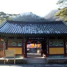
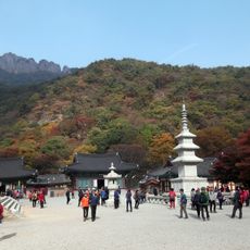
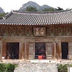
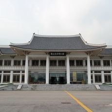
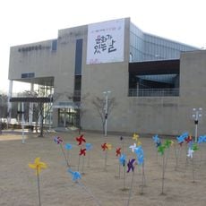
Gochang County, Administrative county in North Jeolla, South Korea.
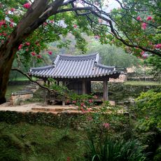
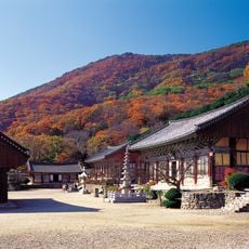
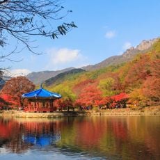
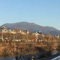
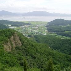
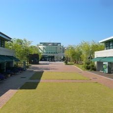
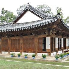
Gochang County is an administrative area in the western part of North Jeolla Province consisting of rolling farmland, rural villages, and tree-covered hills. The landscape is dominated by rice paddies and grain fields interspersed with residential communities and natural forested areas.
The area was known as Morobiri during the Mahan kingdom before becoming Moryangburi-hyeon under Baekje rule. It received its modern name during the Silla period and developed as a rural agricultural region over subsequent centuries.
Local food traditions center on grain-based dishes and seasonal vegetables grown across the region, with small family farms shaping everyday meals. Community gatherings often revolve around harvests and cooking practices that connect people to their land.
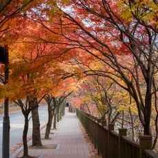
Most of the county is easily accessed by local roads connecting villages and farm areas, making travel on foot or by vehicle straightforward. Spring and autumn offer the most comfortable conditions for exploring the agricultural landscape and rural communities.
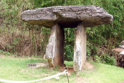
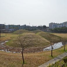
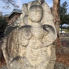
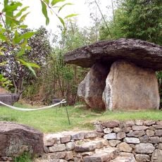
Maesan village within the county holds one of Korea's largest concentrations of prehistoric dolmens, with hundreds of stone burial structures scattered across the landscape. These ancient monuments offer visitors a rare chance to see Bronze Age burial practices preserved in their original rural setting.
The community of curious travelers
AroundUs brings together thousands of curated places, local tips, and hidden gems, enriched daily by 60,000 contributors worldwide.