Mangystau Region, Administrative region in western Kazakhstan
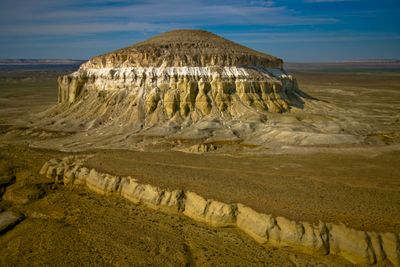
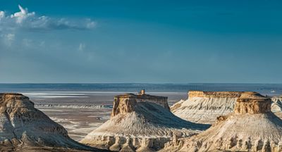
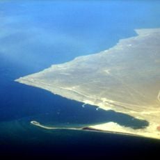
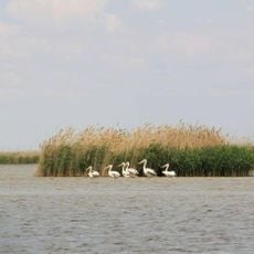
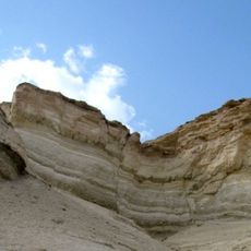
Mangystau is an administrative division in western Kazakhstan that includes coastline along the Caspian Sea and the Mangyshlak Peninsula. The territory covers steppe, desert landscapes, and rocky plateaus that stretch across largely uninhabited expanses.
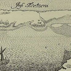
Caravans passed through this area for centuries on routes between Europe and Asia, leaving traces along old trade paths. Nomadic tribes used the coast and hinterland as grazing grounds and transit territory.
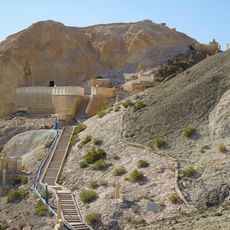
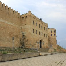
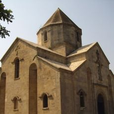
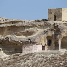
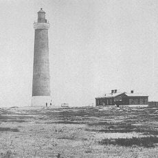
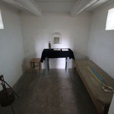
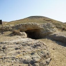
The region contains numerous archaeological sites, including petroglyphs, burial grounds, and the underground mosque of Beket-Ata, reflecting centuries of human presence.
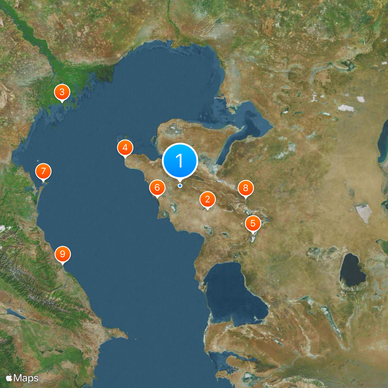
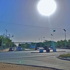
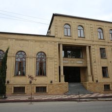
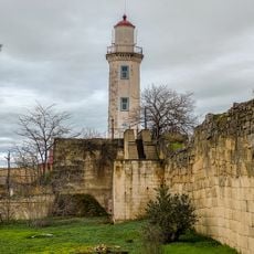
Aktau serves as a base for traveling around the area and offers accommodation and connections to other parts of the country. Most points of interest lie outside the city and require drives over unpaved roads or through open terrain.
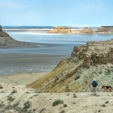
The Karagiye Depression lies 132 meters below sea level and forms the lowest point in Kazakhstan. Few visitors reach this remote hollow in the interior of the peninsula.
Location: Kazakhstan
Inception: March 20, 1973
Capital city: Aktau
Shares border with: Atyrau Region, Aktobe Region, Karakalpakstan, Balkan Region
Website: http://mangystau.gov.kz
GPS coordinates: 43.86667,52.00000
Latest update: December 13, 2025 15:53
Zhanaozen
90.6 km
Astrakhan Nature Reserve
360.9 km
Fort-Shevchenko
156.1 km
Ustyurt Nature Reserve
222 km
BN-350 reactor
64.5 km
Chechen
346 km
Beket-Ata mosque
169.2 km
Cidadela, cidade velha e fortificações de Derbent
362 km
Cabin of Peter the Great
361.9 km
State Nature Reservat "Akzhaiyk"
345.6 km
Derbent Synagogue
363.1 km
Cave of Dzhebel
434.3 km
Derbent Lighthouse
362.5 km
Saint Gregory Church
365.6 km
Shakpak-ata mosque
93.3 km
Church of the Intercession of the Holy Virgin of Derbent
362.4 km
Monument to Taras Shevchenko
72.4 km
Mangyshlak experimental Botanical Garden
71.6 km
Zhastar Stadium
72.1 km
Assumption Nicholas Churkinsky Monastery
374.3 km
Chechen Lighthouse
349.8 km
Gaplaňgyr Nature Reserve
528.4 km
Atyrau Regional Museum of Local History
360.8 km
Taras Shevchenko museum
155.7 km
Manjali Mosque
360.7 km
Imanqara
437.8 km
Мұнайшылар қалашығы
359.7 km
Armenian Chapel, Fort-Shevchenko
156.1 kmVisited this place? Tap the stars to rate it and share your experience / photos with the community! Try now! You can cancel it anytime.
Discover hidden gems everywhere you go!
From secret cafés to breathtaking viewpoints, skip the crowded tourist spots and find places that match your style. Our app makes it easy with voice search, smart filtering, route optimization, and insider tips from travelers worldwide. Download now for the complete mobile experience.
A unique approach to discovering new places❞
— Le Figaro
All the places worth exploring❞
— France Info
A tailor-made excursion in just a few clicks❞
— 20 Minutes