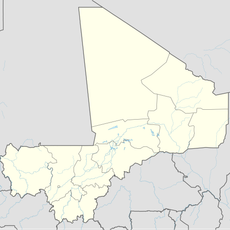
Dogon Country, Territory in Mopti Region, Mali.
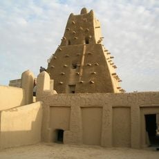
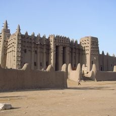
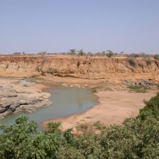
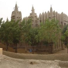
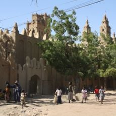
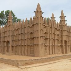
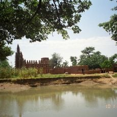
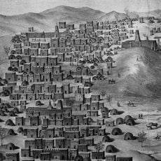
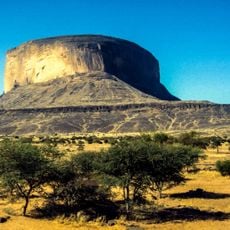
Dogon Country is a territory in Mopti Region, Mali, distinguished by the Bandiagara Escarpment, a dramatic geological formation of sandstone cliffs rising above a flat plain. The landscape divides naturally into three zones: the upper plateau, the steep cliff face, and the lower plain below.
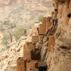
The Tellem people built dwellings carved into cliff faces during the 11th century, long before the Dogon arrived from present-day Burkina Faso. This early settlement shaped the region's character for centuries to come.
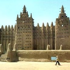
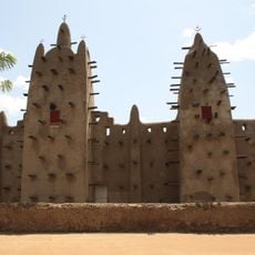
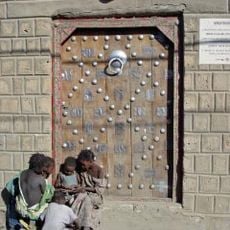
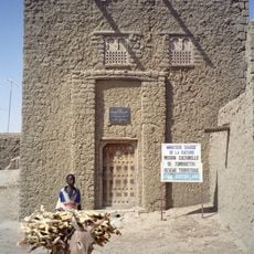
Each Dogon village has a toguna, a low-roofed meeting place where male elders gather to make community decisions and discuss local matters. This shared space remains central to how village life is organized today.
The best time to explore is during the cooler season when walking through steep terrain is more manageable. Access is easiest from the larger villages, which serve as good starting points for exploring the different zones.
The Dogon maintain a tradition of separate grain storage buildings for men and women, with distinct architectural designs reflecting their separate roles. This arrangement is visible today in the way storage structures are positioned throughout the villages.
Location: Mopti Region
GPS coordinates: 14.35000,-3.61111
Latest update: December 7, 2025 20:44
Timbuktu
277.6 km
Great Mosque of Djenné
113.3 km
Sankore Madrasah
277.7 km
Djinguereber Mosque
277.1 km
Djenné-Djenno
112.6 km
Bandiagara Escarpment
32.6 km
Sidi Yahya Mosque
277.3 km
Ancient ferrous metallurgy sites of Burkina Faso
198.5 km
Ounjougou
51.5 km
Musée de Manega
262 km
Old Towns of Djenné
113.2 km
Mopti Grand Mosque
65.1 km
Great Mosque of Niono
257.9 km
Cathedral of Our Lady of the Perpetual Help in Nouna
181.9 km
St. Joseph Cathedral, Mopti
65.3 km
Grande mosquée de Diafarabé
153.8 km
Grande mosquée de San
181.2 km
Mosquée de Kani-Kombolé
21.8 km
Notre-Dame-de-Lourdes Cathedral of San
181.6 km
Rene Caille House
277.3 km
Timbuktu
277.4 km
Gordon Laing House
277.3 km
Hombori Tondo
232.3 km
Regional Council of the Timbuktu Region
276.1 km
Sankore Mosquee
277.8 km
Le Bassin du fleuve Niger (du seuil de Markala au lac Débo)
83.6 km
Mosquée Souble Salam de Taïkiri
65 km
Musée Rayimi à Issouka
270.6 kmVisited this place? Tap the stars to rate it and share your experience / photos with the community! Try now! You can cancel it anytime.
Discover hidden gems everywhere you go!
From secret cafés to breathtaking viewpoints, skip the crowded tourist spots and find places that match your style. Our app makes it easy with voice search, smart filtering, route optimization, and insider tips from travelers worldwide. Download now for the complete mobile experience.
A unique approach to discovering new places❞
— Le Figaro
All the places worth exploring❞
— France Info
A tailor-made excursion in just a few clicks❞
— 20 Minutes