
Khotont, district in Arkhangai Province, Mongolia
Location: Arkhangai Province
Elevation above the sea: 1,455 m
Website: http://khotont.ar.gov.mn/
Website: http://khotont.ar.gov.mn
GPS coordinates: 47.36306,102.47111
Latest update: June 4, 2025 13:11
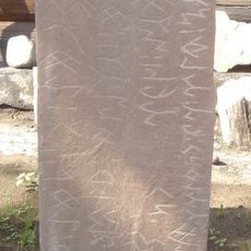
Orkhon inscriptions
35.5 km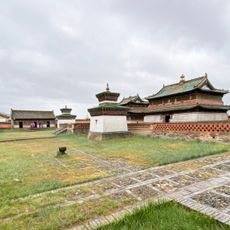
Karakorum
32.4 km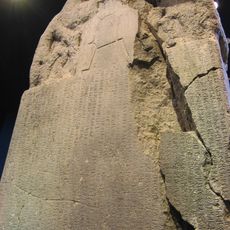
Kül Tigin inscription
33.3 km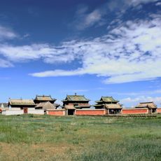
Erdene Zuu Monastery
33.4 km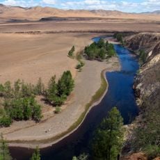
Orkhon Valley
34.6 km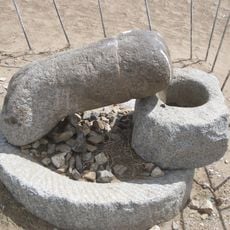
Kharkhorin Rock
35 km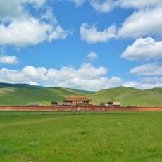
Amarbayasgalant Monastery
304.6 km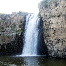
Ulaan Tsutgalan waterfall
74.9 km
Khorgo Uul volcano
216 km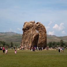
Taihar Rock
95.3 km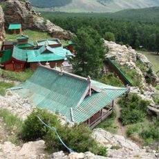
Tövkhön Monastery
42.2 km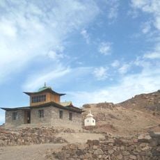
Ongi Monastery
255 km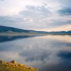
Khorgo-Terkhiin Tsagaan Nuur National Park
224.5 km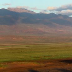
Ikh Bogd Uul National Park
311.7 km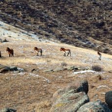
Hustai National Park
260.4 km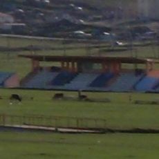
Erdenet Stadium
219.1 km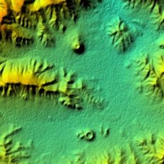
Uran-Togoo Tulga Uul Natural Monument
182.9 km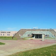
Kharkhorum Museum
33.5 km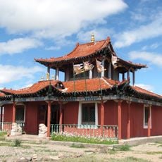
Danzandarjaa Monastery
305.9 km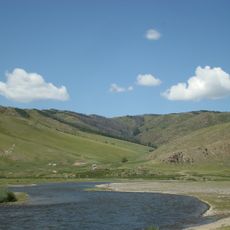
Khangai Nuruu National Park
82.9 km
White House of Choghtu Khong Tayiji
159.4 km
Дэчинравжаалин
309.1 km
Khogno Khan National Park
88.8 km
Pethub Stangey Choskhor Ling Khiid
306.9 km
Gandanshadüvlin
219.7 km
Buyandelgeruulekh Khiid
77.7 km
Gimpil Darjaalan Monastery
242.1 km
Taryatu-Chulutu
207.2 kmReviews
Visited this place? Tap the stars to rate it and share your experience / photos with the community! Try now! You can cancel it anytime.
Discover hidden gems everywhere you go!
From secret cafés to breathtaking viewpoints, skip the crowded tourist spots and find places that match your style. Our app makes it easy with voice search, smart filtering, route optimization, and insider tips from travelers worldwide. Download now for the complete mobile experience.

A unique approach to discovering new places❞
— Le Figaro
All the places worth exploring❞
— France Info
A tailor-made excursion in just a few clicks❞
— 20 Minutes