Enable Location

We need your location to show you interesting places around you

Discover nearby places

Find interesting locations and hidden gems around you

Precise directions

Get accurate directions and distances to places

Your location is never shared with other users. It's only used when you tap the location button.

Almere

Log in to your account

Start exploring — it's free

Trusted by 63,229 travelers worldwide

Continue with Google
Continue with Apple
or

We will send you a code to connect

By continuing, you accept our Terms and Conditions and our Privacy Policy

Check your inbox

We've sent a pincode in your inbox. Please enter the code below.

Discussion Reviews 7 Photos
93.6k Popularity

Almere, Planned municipality in Flevoland, Netherlands

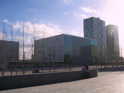
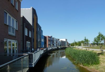
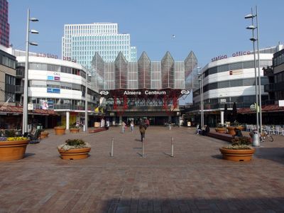
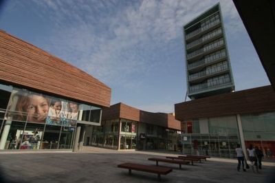
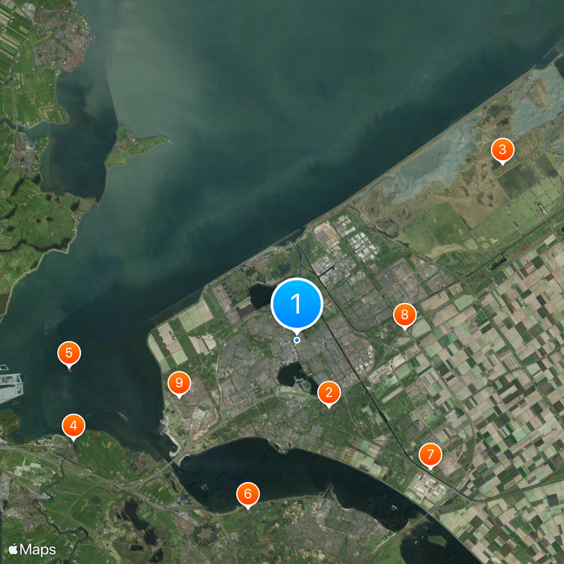
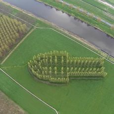
Almere is a planned municipality in the province of Flevoland, Netherlands, built on land reclaimed from the former Zuiderzee. The settlement consists of several separate residential cores connected by a network of cycling paths, canals, and green zones.

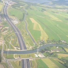
The municipality began development in 1976 on land reclaimed from the waters of the Zuiderzee. This project aimed to address growing housing needs in the region and offer new opportunities for residents.

The Stripheldenbuurt district names its roads after comic book heroes, adding a playful layer to everyday navigation. Residents walk streets that honor familiar characters, turning the neighborhood into a conversation between daily life and pop culture.

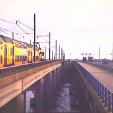
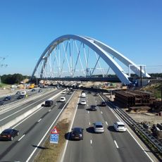
Trains reach Amsterdam in around 20 minutes, while regional services link the municipality to other parts of Flevoland. Cycling paths run separately from car lanes, making movement between residential cores straightforward.

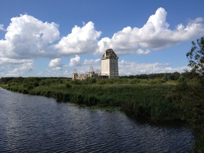
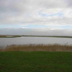
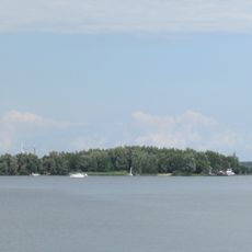
The entire municipality sits 3 meters (10 feet) below sea level, relying on dikes and polders for protection. Without continuous water management, the land would flood again, showing its dependence on pumping systems.

The community of curious travelers

AroundUs brings together thousands of curated places, local tips, and hidden gems, enriched daily by 60,000 contributors worldwide.

Start exploring
Location
Inception
1976
Elevation above the sea
-3 m
Part of
Flevoland
Shares border with
Blaricum, Edam-Volendam, Huizen, Waterland, Zeewolde, Lelystad, Gooise Meren, Hoorn, Amsterdam, Muiden
Phone
GPS coordinates
52.37583,5.22556
Latest update
December 13, 2025 15:31
Reviews
Share your experience

No review yet

Discussions
Start a discussion...

No discussion yet

« Almere - Planned municipality in Flevoland, Netherlands » is provided by Around Us (aroundus.com). Images and texts are derived from Wikimedia project under a Creative Commons license. You are allowed to copy, distribute, and modify copies of this page, under the conditions set by the license, as long as this note is clearly visible.

Discover hidden gems everywhere you go!

From secret cafés to breathtaking viewpoints, skip the crowded tourist spots and find places that match your style. Our app makes it easy with voice search, smart filtering, route optimization, and insider tips from travelers worldwide. Download now for the complete mobile experience.

Around Us App Screenshot

A unique approach to discovering new places

Le Figaro

All the places worth exploring

France Info

A tailor-made excursion in just a few clicks

20 Minutes

Around Us
Travel Guide & Maps
Download

Send to your phone

QR Code
1

Open the camera app on your mobile.

2

Point at the QR code with your camera. A notification will appear.

3

Tap the notification to open the link.