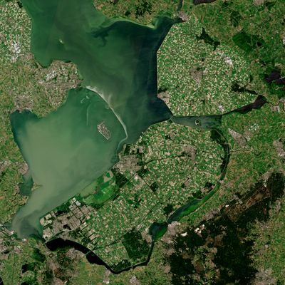
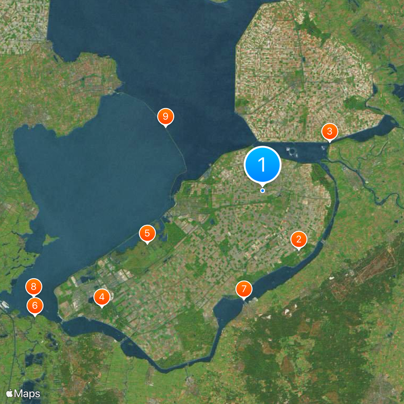
Flevoland, Province in central Netherlands
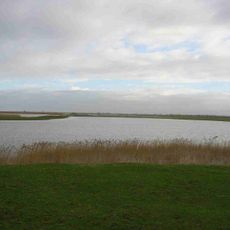
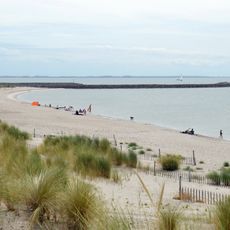
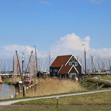
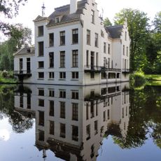
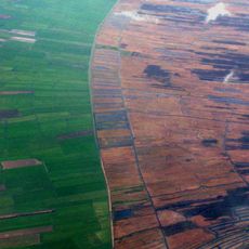
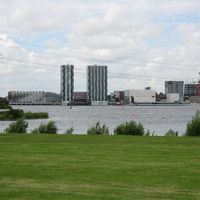
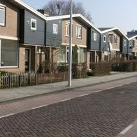
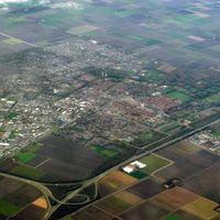
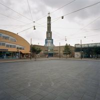
Flevoland is a province in central Netherlands consisting of three large polders reclaimed from the IJsselmeer. The landscape is shaped by flat fields, straight canals, and orderly settlements laid out in a uniform grid pattern.
The idea emerged after the North Sea flood of 1916, when the Netherlands decided to partially drain the IJsselmeer. Between the early 1940s and late 1960s, three polders were completed and became the youngest Dutch province in 1986.
Place names often follow the planning tradition set by the Rijksdienst voor IJsselmeerpolders, with many settlements named after historical figures or old coastal towns. Farms and fields stretch in straight lines along wide roads, reflecting the methodical design of land reclamation.
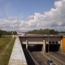
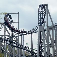
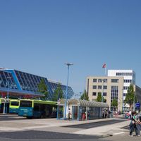
Trains run regularly from Almere and Lelystad to Amsterdam and other major cities, and motorways cross the flat terrain. The landscape is well suited for cycling, with many routes passing through open fields and along dikes.
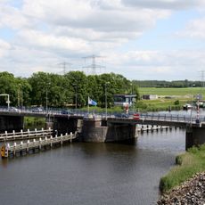
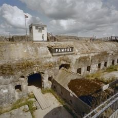
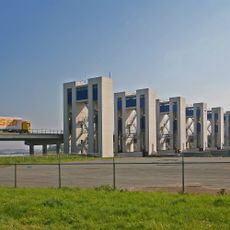
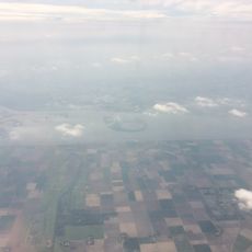
The entire territory lay underwater until the mid-20th century, making it the largest artificially created land area in the world. Visitors can see the dikes and pumping stations that still protect the dry land today.
The community of curious travelers
AroundUs brings together thousands of curated places, local tips, and hidden gems, enriched daily by 60,000 contributors worldwide.