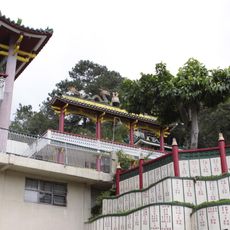
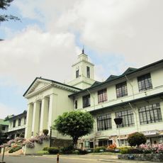
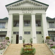
Benguet, Administrative province in Cordillera Region, Philippines
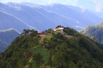
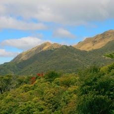
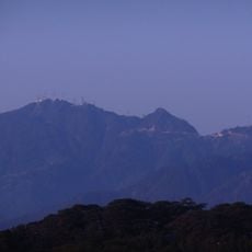
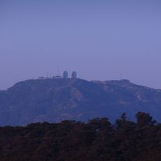
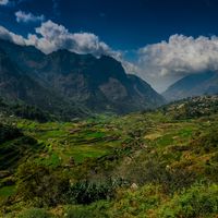
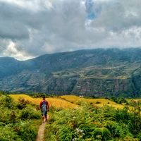
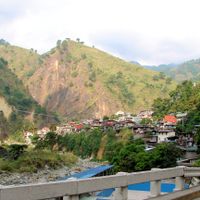
Benguet is an administrative province in the Cordillera region of the Philippines, covering mountain country in the southern part of the area. The landscape consists of steep slopes, deep valleys, and peaks such as Mount Pulag, which rises nearly 3,000 meters (about 9,800 feet) high.
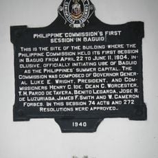
Spanish colonizers tried repeatedly from the 16th century onward to gain control over this region after hearing reports of gold. Indigenous communities resisted these attempts for a long time and kept their independence well into the colonial period.
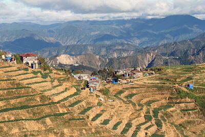
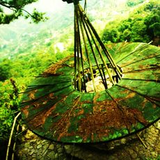
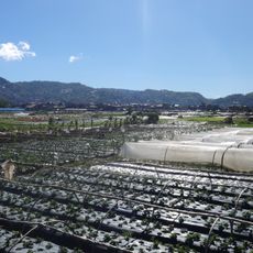
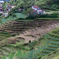
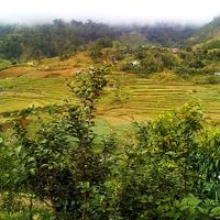
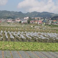
The name comes from the Ibaloi term for "mountain edge," describing the way this province lies along steep ridges. Visitors traveling through the area pass terraced hillsides where farmers grow crops adapted to cooler weather.
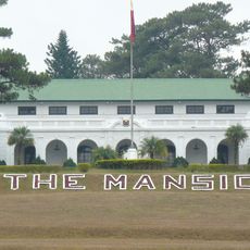
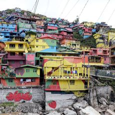
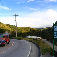
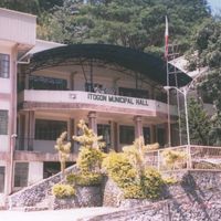
The province includes 13 municipalities linked by winding mountain roads. Visitors should plan for cooler weather and allow extra travel time when moving between different elevations.
At higher elevations, frost occurs seasonally, a rare weather event for the Philippines. These cold spells influence the planting calendar and allow vegetables to grow that would not otherwise thrive in tropical conditions.
Location: Cordillera Administrative Region
Inception: 1900
Capital city: La Trinidad
Shares border with: La Union, Mountain Province, Ilocos Sur, Pangasinan, Nueva Vizcaya, Ifugao
Website: http://benguet.gov.ph
GPS coordinates: 16.50000,120.66667
Latest update: December 4, 2025 23:04
Mount Pulag
27.1 km
Dominican Hill Retreat House
13.7 km
Laperal White House
11.9 km
Bust of Ferdinand Marcos
24.9 km
Baguio Botanical Garden
11.1 km
Burnham Park
12.6 km
The Mansion
10.9 km
Baguio Cathedral
12.1 km
Mines View Park
9.9 km
La Trinidad Strawberry Farm
10.5 km
Camp John Hay
12.8 km
Valley of Colors
10.4 km
Mount Santo Tomas
21.6 km
John Hay Air Base
13 km
BenCab Museum
15.9 km
Mount Cabuyao
19 km
Philippine College of Ministry
13.7 km
Baguio Museum
12.7 km
Baguio Teachers’ Camp historical marker
11.5 km
Bell Church
10.5 km
Baguio City Hall
12.5 km
Dominican Hill and Retreat House historical marker
13.7 km
New Highest Point
32.2 km
Baguio City Hall historical marker
12.5 km
Philippine Commission’s First Session in Baguio historical marker
12.3 km
Mansion House historical marker
10.8 km
Baguio Country Club historical marker
11.5 km
Emilio F. Aguinaldo Museum
12 kmReviews
Visited this place? Tap the stars to rate it and share your experience / photos with the community! Try now! You can cancel it anytime.
Discover hidden gems everywhere you go!
From secret cafés to breathtaking viewpoints, skip the crowded tourist spots and find places that match your style. Our app makes it easy with voice search, smart filtering, route optimization, and insider tips from travelers worldwide. Download now for the complete mobile experience.
A unique approach to discovering new places❞
— Le Figaro
All the places worth exploring❞
— France Info
A tailor-made excursion in just a few clicks❞
— 20 Minutes