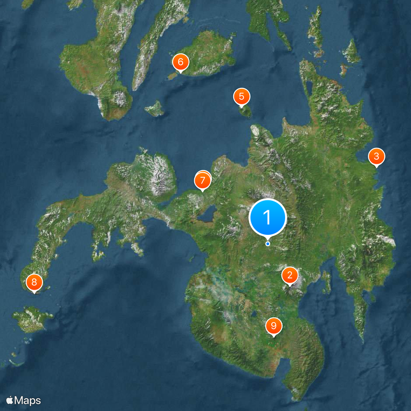
Mindanao, Island in Southern Philippines
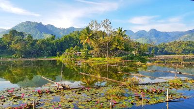
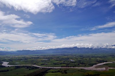
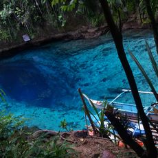
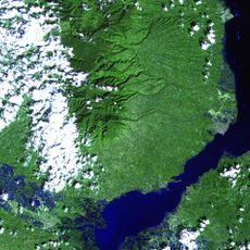
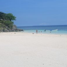
Mindanao is the second largest island of the Philippines, reaching 471 kilometers from north to south and 521 kilometers from east to west in the southern region of the country. The coastline is deeply indented, with several peninsulas, deep bays, and many smaller offshore islands.
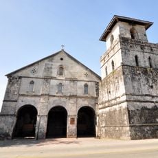
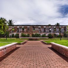
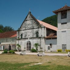
Archaeological finds show that people lived here as early as 10,000 years ago, followed by Austronesian settlers around 1500 BCE. Over the centuries, various sultanates and kingdoms emerged, especially in the Muslim parts of the island, where they endured for a long time.
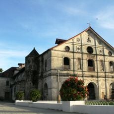
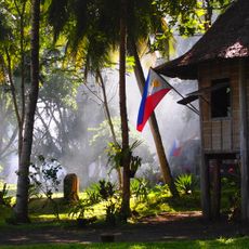
In daily life, visitors encounter a wide variety of languages, clothing styles, and religious practices maintained by the many communities across the island. Markets, festivals, and local customs show a mix of Islamic, Christian, and indigenous traditions that exist side by side and shape everyday interactions.
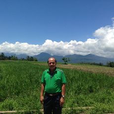
The island is divided into six administrative regions: Zamboanga Peninsula, Northern Mindanao, Caraga, Davao, Soccsksargen, and the Bangsamoro Autonomous Region. Travelers should check current safety conditions in specific areas before visiting, as the situation can vary by region.
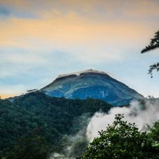
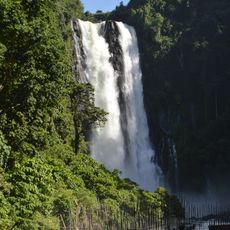
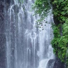
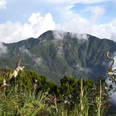
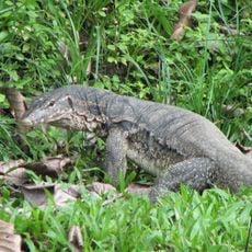
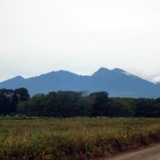
Mount Apo, rising to 2954 meters (9692 feet) in the central highlands, is the highest peak in the entire Philippine archipelago. On its slopes grow rare orchids, and the Philippine eagle finds one of its last natural habitats here.
The community of curious travelers
AroundUs brings together thousands of curated places, local tips, and hidden gems, enriched daily by 60,000 contributors worldwide.