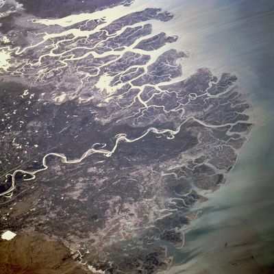
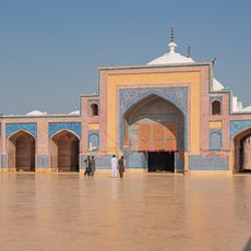
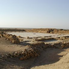
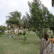
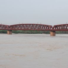
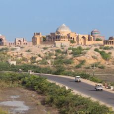
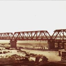
Indus River Delta, Ramsar wetland site in Thatta District, Pakistan.
The Indus River Delta is a sprawling wetland where the river meets the Arabian Sea through numerous channels and shallow lagoons. The landscape consists of flat water bodies, dense mangrove forests, and sandy areas that shift constantly due to tidal flows and seasonal water changes.
This delta enabled the rise of settlements and trading centers thousands of years ago, which depended on the river's water and resources. Over time, shifts in water distribution and land formation transformed the region, reshaping its geography and human patterns.
Fishing communities have shaped this landscape for generations, and their daily work with nets and boats remains central to the region's identity. The local knowledge about seasons, water levels, and wildlife movements is passed down through families who have lived here for centuries.
The best time to visit is from November to March when the weather is comfortable and migratory birds arrive in large numbers. Organized tours from Karachi are recommended, and local guides know the safest routes and the best spots for observing wildlife and the landscape.
Mangrove forests form a protective belt along the water channels and defend the land naturally against coastal erosion. These woods also serve as breeding grounds and feeding areas for thousands of fish and crustacean species that support both fishers and bird populations.
The community of curious travelers
AroundUs brings together thousands of curated places, local tips, and hidden gems, enriched daily by 60,000 contributors worldwide.