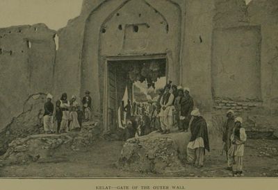
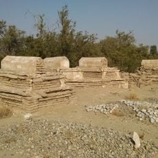
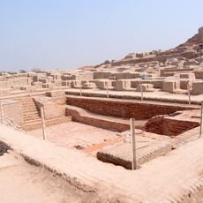
Kalat, city in Balochistan, Pakistan
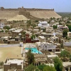
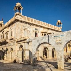
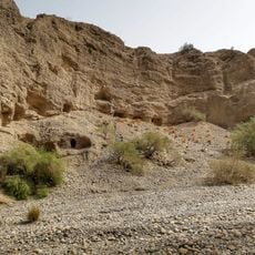
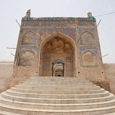
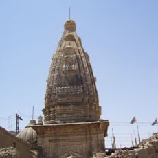
Kalat is a city in Balochistan, Pakistan, perched on a hilltop that overlooks the surrounding plains in an arid landscape. It contains narrow winding streets, mud brick dwellings with flat roofs, a fortified structure with thick stone walls, and the Sardar Palace, which offers views across the region.
Kalat was established many centuries ago and developed as an important trade center in the region. Local rulers constructed the Sardar Palace and built a fortress on the hill for the city's defense.
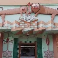
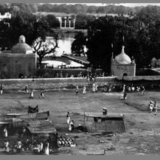
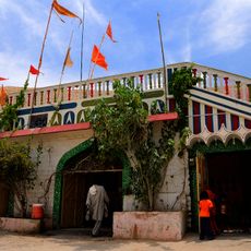
Traditional bazaars and handcrafted goods form the core of everyday activity in this city. Local dress styles and communal gatherings in the central market area reflect customs that remain part of daily life.
Visit early in the morning or late afternoon when temperatures are more comfortable, as midday heat can be harsh. The narrow paved streets require sturdy shoes, and the bazaar in the morning is the best time to find handcrafted items and observe locals shopping.
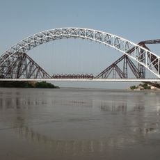
The city sits at a crossing point for travelers exploring the wider Balochistan region. Many visitors stop here for rest and supplies before continuing their journey to other parts of the province.
The community of curious travelers
AroundUs brings together thousands of curated places, local tips, and hidden gems, enriched daily by 60,000 contributors worldwide.