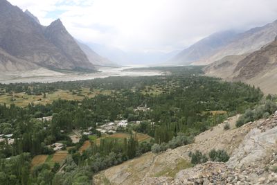
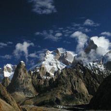
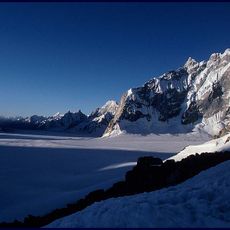
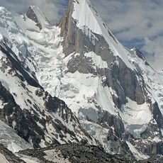
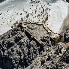
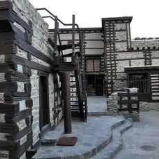
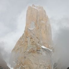
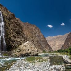
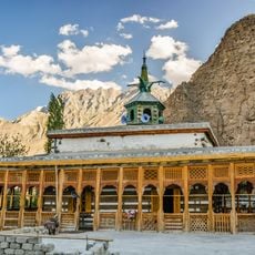
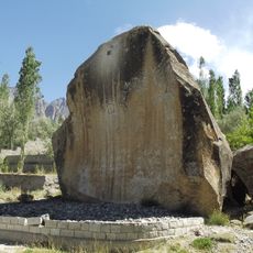
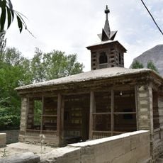
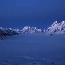
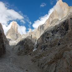
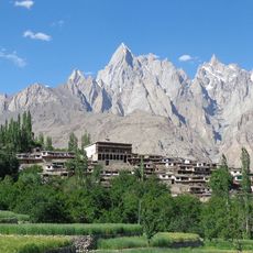
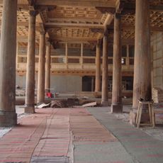
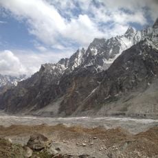
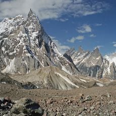
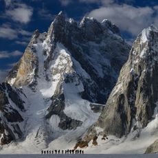
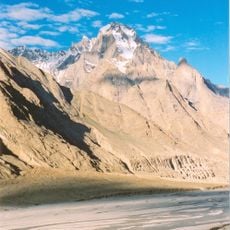
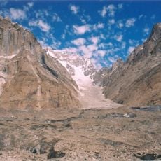
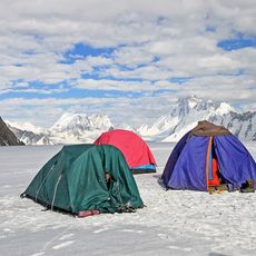
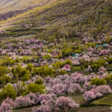
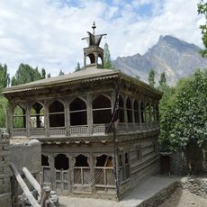
Shigar, town in Gilgit-Baltistan, Pakistan
Location: Shigar District
Elevation above the sea: 2,556 m
GPS coordinates: 35.42361,75.73889
Latest update: March 4, 2025 15:04
Deosai National Park
53.9 km
Trango Towers
56 km
Masherbrum
57.1 km
Baintha Brakk
58.3 km
Khaplu Palace
62.1 km
Biafo Glacier
63 km
Laila Peak
63.9 km
Skardu Fort
16.1 km
Shigar Fort
343 m
Trango Tower
56.3 km
Manthokha Waterfall
46.1 km
Chaqchan Mosque
61.5 km
Manthal Buddha Rock
19.8 km
Amburiq Mosque
1.1 km
Snow Lake
65.7 km
Great Trango Tower
56 km
Trango Glacier
55 km
Baltistan Wildlife Sanctuary
58.4 km
Khanaq-e-Mullah Noorbakshia Khaplu Bala
62.6 km
Gondogoro Glacier
60.2 km
Biarchedi
65.7 km
Panmah Glacier
58.1 km
Sosbun Brakk
59.3 km
Paiju Peak
47.2 km
Biale
61.8 km
Uzun Brakk
59.7 km
Chunda Valley
24.1 km
Khilingrong Mosque
444 mReviews
Visited this place? Tap the stars to rate it and share your experience / photos with the community! Try now! You can cancel it anytime.
Discover hidden gems everywhere you go!
From secret cafés to breathtaking viewpoints, skip the crowded tourist spots and find places that match your style. Our app makes it easy with voice search, smart filtering, route optimization, and insider tips from travelers worldwide. Download now for the complete mobile experience.
A unique approach to discovering new places❞
— Le Figaro
All the places worth exploring❞
— France Info
A tailor-made excursion in just a few clicks❞
— 20 Minutes