Wisła, Major river in Central Poland.
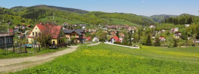
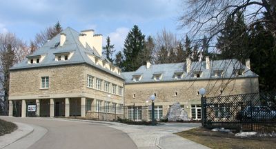
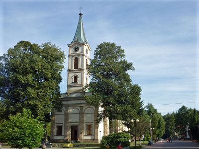
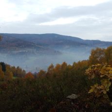
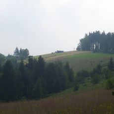
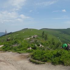
Wisła is a waterway in central Poland running more than a thousand kilometers from the Silesian Beskids to the Baltic Sea near Gdansk. The course crosses open plains, historic town centers and wooded hills, shaping the landscape across several regions.
In the Middle Ages the waterway served as a main trade artery, linking towns that moved grain, timber and salt downstream. From the 19th century onward, dams and canals reshaped the course and created new harbors for freight traffic.
The name comes from an ancient Indo-European root referring to flowing water, shared across several Slavic languages. Along the banks today, anglers, cyclists and walkers treat the waterway as a natural meeting point and place for outdoor leisure.
Many bridges connect both banks and make it easier for walkers and cyclists to explore riverside trails and nature reserves. The best viewpoints are near historic towns, where waterfront promenades give direct access to the water.
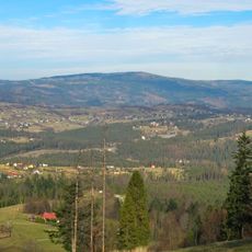
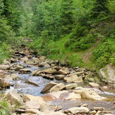
The catchment area extends across four countries and forms the largest river system in the country, gathering water from the Carpathians and the North European Plain. In spring the water level often rises rapidly, creating and erasing small islands and sandbanks in the current.
The community of curious travelers
AroundUs brings together thousands of curated places, local tips, and hidden gems, enriched daily by 60,000 contributors worldwide.