Enable Location

We need your location to show you interesting places around you

Discover nearby places

Find interesting locations and hidden gems around you

Precise directions

Get accurate directions and distances to places

Your location is never shared with other users. It's only used when you tap the location button.

Évora

Log in to your account

Start exploring — it's free

Trusted by 61,650 travelers worldwide

Continue with Google
Continue with Apple
or

We will send you a code to connect

By continuing, you accept our Terms and Conditions and our Privacy Policy

Check your inbox

We've sent a pincode in your inbox. Please enter the code below.

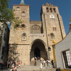
Évora, UNESCO heritage city in Alentejo, Portugal

Description

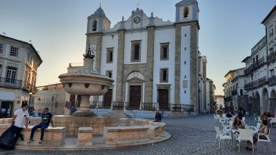
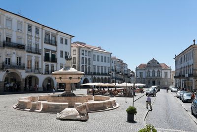
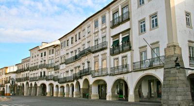
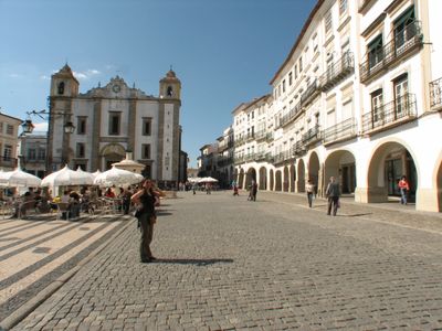
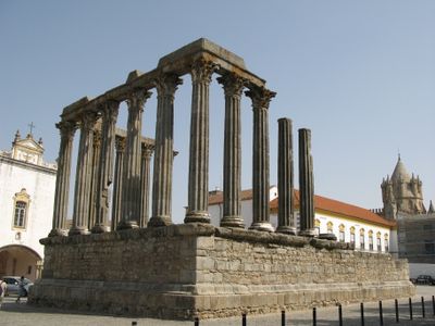
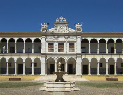
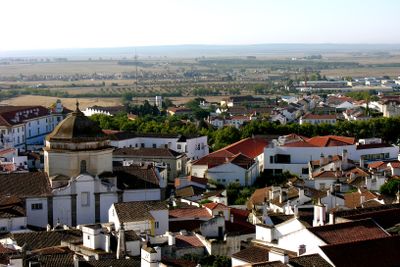
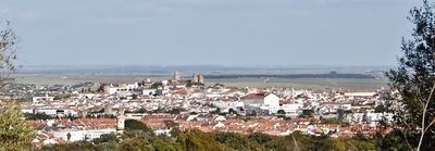
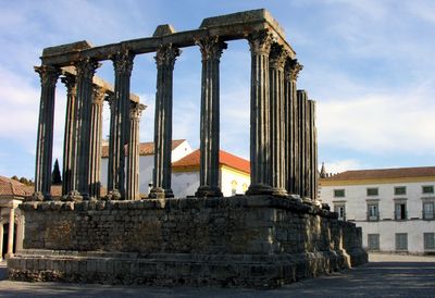
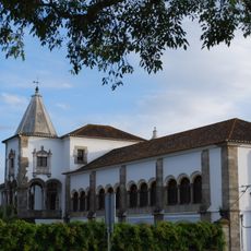
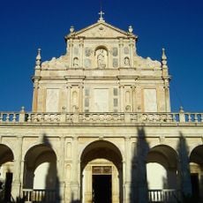
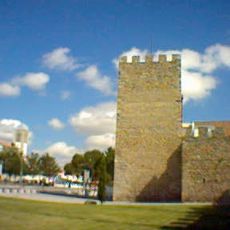
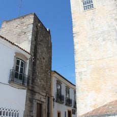
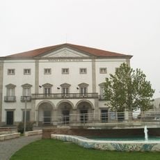
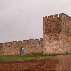
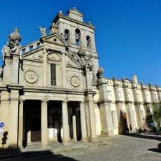
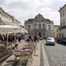
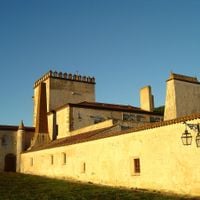
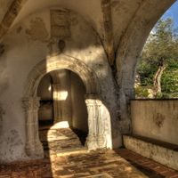
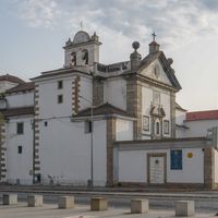
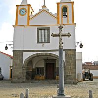
Évora is a walled town in Alentejo whose historic core spreads across gentle hills and is crossed by narrow lanes. The built fabric shows whitewashed houses with yellow trim bands, small squares and archways that merge into a core of Roman, Moorish and medieval structures.

History

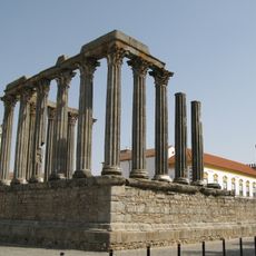
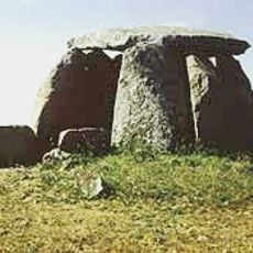
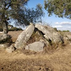
The Romans established a fortified post here from 57 BC onward that grew into a major trading town under Moorish and later Christian rule in the Middle Ages. In the 16th century the place reached its peak as a royal residence and seat of a university.

Culture

The townscape preserves its Roman, Moorish and medieval roots in an ensemble that locals and students cross daily. The white house fronts and arcaded passages shape a rhythm that has continued in the habits of residents for centuries.

Practical

The old town core can be explored on foot in roughly two hours, with comfortable shoes recommended because of the cobblestones and slopes. Those who walk early in the morning or in the late afternoon will encounter fewer visitors and more pleasant temperatures in summer.

Did you know?

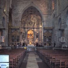
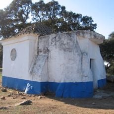
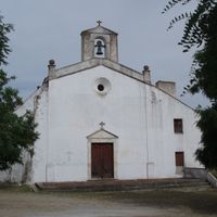
In the southern part of the old wall stands a small 16th-century chapel whose interior walls are completely lined with human bones. The arrangement of skulls and bones follows a symmetrical pattern that visitors often contemplate longer than expected.

Location
Location
Inception
1166
Elevation above the sea
295 m
Shares border with
Portel, Viana do Alentejo, Reguengos de Monsaraz, Redondo, Estremoz, Arraiolos, Montemor-o-Novo, Tønsberg
Address
Evora, Portugal
GPS coordinates
38.57250,-7.90722
Latest update
December 13, 2025 17:03

AroundUs brings together thousands of curated places, local tips, and hidden gems, enriched daily by 60,000 contributors worldwide. Discover all places nearby (Évora).

Alentejo: historical sites, fortified villages and natural landscapes of Portugal

Alentejo extends south of Lisbon over a wide land of golden plains, hills covered with olive trees and cork oaks. This region shows signs of many civilizations: Roman ruins in Evora, medieval castles over the valleys, and white villages clinging to rocky tops like Monsaraz or Marvão. Towns keep...

« Évora - UNESCO heritage city in Alentejo, Portugal » is provided by Around Us (aroundus.com). Images and texts are derived from Wikimedia project under a Creative Commons license. You are allowed to copy, distribute, and modify copies of this page, under the conditions set by the license, as long as this note is clearly visible.

Discover hidden gems everywhere you go!

From secret cafés to breathtaking viewpoints, skip the crowded tourist spots and find places that match your style. Our app makes it easy with voice search, smart filtering, route optimization, and insider tips from travelers worldwide. Download now for the complete mobile experience.

Around Us App Screenshot

A unique approach to discovering new places

Le Figaro

All the places worth exploring

France Info

A tailor-made excursion in just a few clicks

20 Minutes

Around Us
Travel Guide & Maps
Download

Send to your phone

QR Code
1

Open the camera app on your mobile.

2

Point at the QR code with your camera. A notification will appear.

3

Tap the notification to open the link.