Leiria, Administrative district between Centro and Oeste e Vale do Tejo regions, Portugal
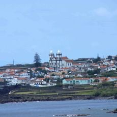
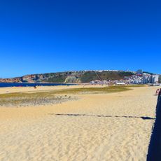
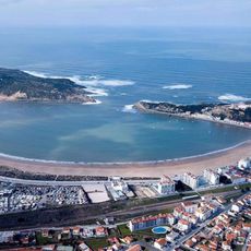
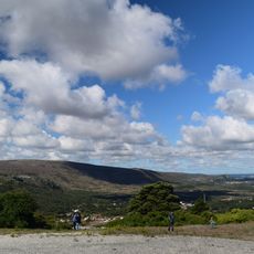
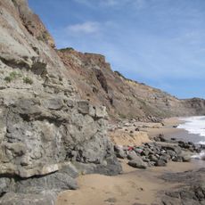
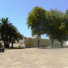
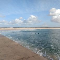
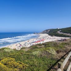
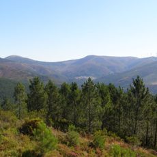
Leiria is an administrative district along the Atlantic coast encompassing multiple municipalities with landscapes ranging from coastal areas to inland hills. The region features small towns, agricultural areas, and a mix of maritime and rural character throughout.
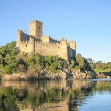
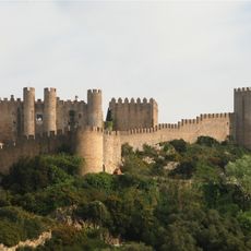
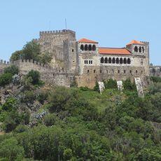
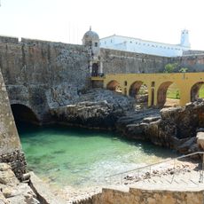
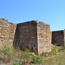
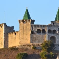
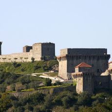
After being recaptured from Moorish forces in the 12th century, the area was established as a strategic outpost and later organized as an administrative district. The region's development was closely tied to the founding of fortified towns and control of trade routes.
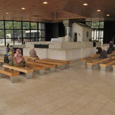
The area is known for its museums dedicated to papermaking and moving image art, reflecting the region's craft traditions. Throughout the year, local festivals in surrounding towns offer insight into how people here celebrate their heritage.
The district is well connected to other Portuguese cities through major highways, making it easy to explore by car. Train services link various towns in the region, allowing visitors to visit multiple places during day trips or longer stays.
The region is an important center for wine production with protected designation of origin wines that reflect the diversity of local growing conditions. Meanwhile, the area has played a role in Portugal's modern aviation history.
The community of curious travelers
AroundUs brings together thousands of curated places, local tips, and hidden gems, enriched daily by 60,000 contributors worldwide.