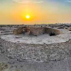
Qatar–Saudi Arabia border, separates territories of Saudi Arabia and Qatar
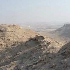
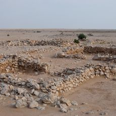
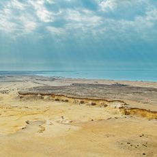
The Qatar-Saudi Arabia border is a land boundary on the Arabian Peninsula, running from the Gulf of Salwah in the west to Khor Al Adaid in the east. The terrain along the entire line is flat and sandy, with no natural features marking the divide.
Britain and the Ottoman Empire divided the region into spheres of influence without drawing a precise line, leaving the boundary vague for a long time. When the Saudi state expanded under Ibn Saud after World War I, territorial disputes arose and took decades to resolve.
The crossing at Abu Samra is used mainly by truck drivers and commuters moving goods and people between the two countries. Waiting travelers often share the space with long convoys of freight vehicles, giving the place the feel of a working transit point rather than a gateway.
Abu Samra is the only road crossing between the two countries and sits to the south of Doha. Travelers should carry a valid passport and check entry requirements for Saudi Arabia in advance, as conditions vary depending on nationality.
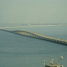
Saudi Arabia publicly announced a plan to dig a canal along its side of the border, which would have turned Qatar into an island surrounded by sea on all sides. The canal was never built, but the announcement remains one of the more unusual moments in the history of modern border disputes.
The community of curious travelers
AroundUs brings together thousands of curated places, local tips, and hidden gems, enriched daily by 60,000 contributors worldwide.