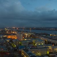
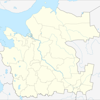
Arkhangelsk Oblast, Administrative region in northwestern Russia
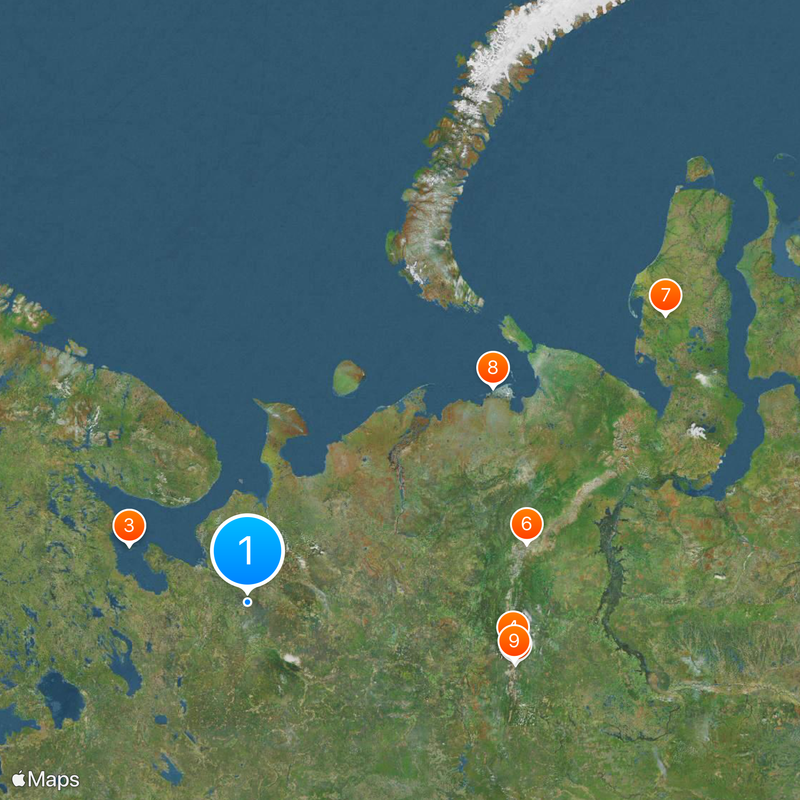
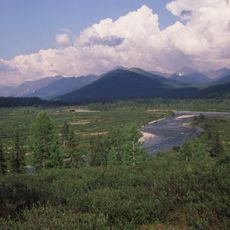
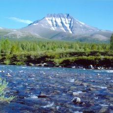
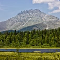
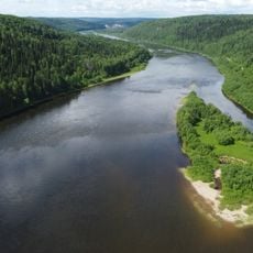
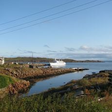
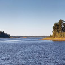
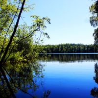
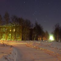
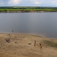
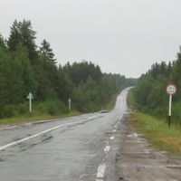
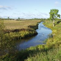
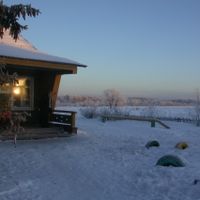
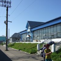
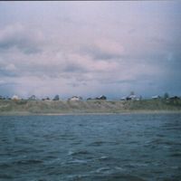
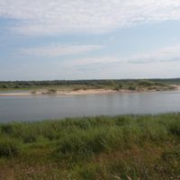
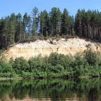
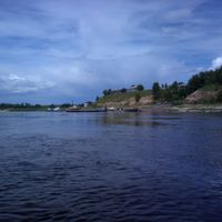
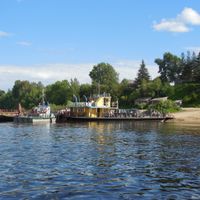
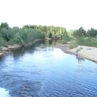
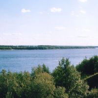
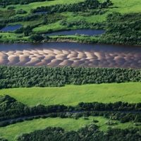
Arkhangelsk Oblast is an administrative region in northwestern Russia that stretches across large parts of the White Sea coast and adjacent Arctic island groups. The territory includes dense forests, river channels, and coastal areas where small villages and port settlements are located.
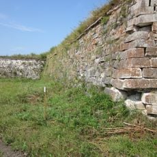
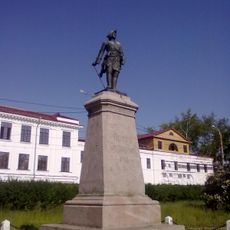
This region served as the primary maritime gateway for Russia to the north and west until the early 18th century. The shift of sea trade to the Baltic altered the role of the territory, which then focused more on forestry and local industry.
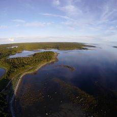
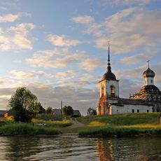
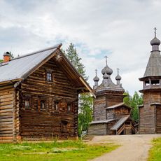
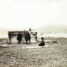
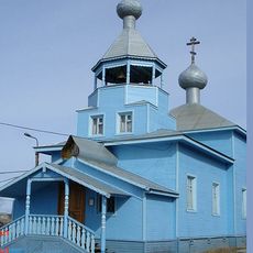
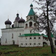
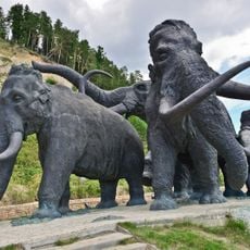
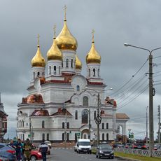
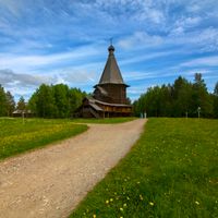
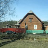
The name of this administrative unit comes from the city of Arkhangelsk, itself named after the Archangel Michael. Visitors today can still see wooden structures in remote settlements, where craftspeople maintain old carpentry skills and continue traditional building techniques.
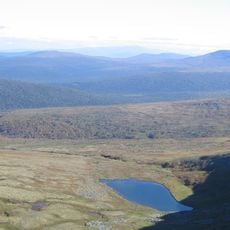
The climate is cold and damp, with long winters and short summers, so warm clothing is necessary even in warmer months. Large distances between settlements require longer travel times and advance planning.
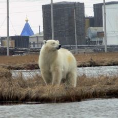
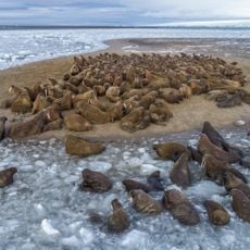
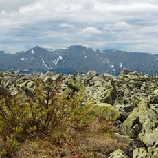
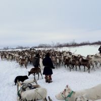
Many islands in this territory remain ice-covered for most of the year and are accessible by ship only during the brief Arctic summer. Wild reindeer herds roam the tundra zones, while seabirds form large colonies on coastal cliffs.
Location: Russia
Inception: September 23, 1937
Capital city: Arkhangelsk
Elevation above the sea: 77 m
Part of: Northwestern Federal District
Shares border with: Nenets Autonomous Okrug, Komi Republic, Kirov Oblast, Vologda Oblast, Karelia, Murmansk Oblast
Website: http://dvinaland.ru
GPS coordinates: 63.50000,43.00000
Latest update: December 4, 2025 19:00
Solovetsky Islands
390.8 km
Solovetsky Monastery
390.8 km
Manpupuner rock formations
836.2 km
Mount Narodnaya
841.8 km
North Urals
852.4 km
Polar Ural
1066.5 km
Virgin Komi Forests
843.8 km
Obskaya–Bovanenkovo Line
1339.8 km
Subpolar Ural
819.5 km
Otorten
852.8 km
Pechora-Ilych Nature Reserve
742.2 km
Kenozyorsky National Park
297.1 km
Yugyd Va National Park
797 km
Malye Korely
146.3 km
Manaraga
825.3 km
Vishera
859.5 km
Het Behouden Huys
1688.4 km
Gremikha Naval Base
533.8 km
Novaya Dvina Fortress
183 km
Onega petroglyphs
410.8 km
Russian Arctic National Park
1510.7 km
Vishera Nature Reserve
860.9 km
Petroglyphs of Lake Onega and the White Sea
408.1 km
Yagry
198.4 km
Antonievo-Siysky Monastery
71.9 km
Заповедник "Пинежский"
133.9 km
Peter I
167.5 km
Vodlozersky National Park
345.3 kmReviews
Visited this place? Tap the stars to rate it and share your experience / photos with the community! Try now! You can cancel it anytime.
Solovetsky District
Mezensky District
Leshukonsky District
Pinezhsky District
Primorsky District
Onezhsky District
Arkhangelsk
Kholmogorsky District
Plesetsky District
Kargopolsky District
Nyandomsky District
Konoshsky District
Vinogradovsky District
Shenkursky District
Velsky District
Ustyansky District
Verkhnetoyemsky District
Krasnoborsky District
Kotlassky District
Lensky District
Vilegodsky District
Arkhangelsk Urban Okrug
Kotlas Urban Okrug
Novaya Zemlya Urban Okrug
Novodvinsk Urban Okrug
Severodvinsk Urban Okrug
Zapolyarny District
Nenets Autonomous Okrug
Discover hidden gems everywhere you go!
From secret cafés to breathtaking viewpoints, skip the crowded tourist spots and find places that match your style. Our app makes it easy with voice search, smart filtering, route optimization, and insider tips from travelers worldwide. Download now for the complete mobile experience.
A unique approach to discovering new places❞
— Le Figaro
All the places worth exploring❞
— France Info
A tailor-made excursion in just a few clicks❞
— 20 Minutes