
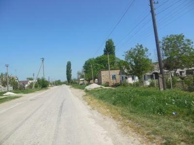
Novoklenovo, human settlement in Bilohirsk Raion, Republic of Crimea, Russia
Location: Zelenogirske rural council
Elevation above the sea: 289 m
GPS coordinates: 45.00389,34.49667
Latest update: March 11, 2025 01:28
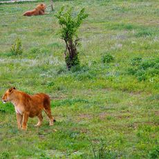
Taigan Safari Park
6.4 km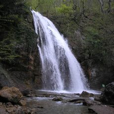
Djur-Djur
22.3 km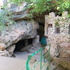
Kyzyl-Koba
19.3 km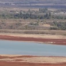
Taygansk Reservoir
7.6 km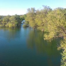
Belogorsk Reservoir
8.3 km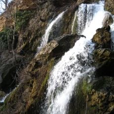
Su-Uchan waterfall
19.2 km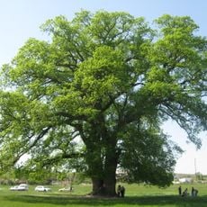
Suvorov's oak
12.8 km
Hora Karatau
17.4 km
Balonov Reservoir
13 km
Mountain Karst of Crimea
17.6 km
Grand bouzlouk
16.5 km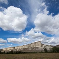
Гора Ак-Кая
15 km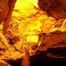
Кызыл-Коба
19.3 km
Grotte du soldat
15.9 km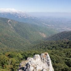
Khaphal Reserve
22.2 km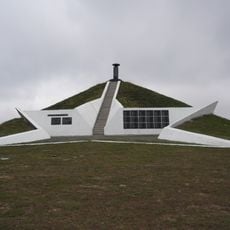
Hill of Glory
15.7 km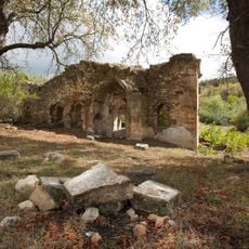
Surb Praktchi church
20.8 km
Karasu-Bashi
9.3 km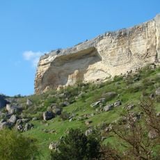
Kizil Koba Regional Landscape Park
19.2 km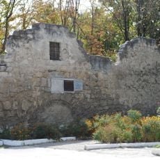
Tash han karavansaray, Belogorsk
10.4 km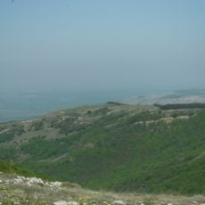
Zamana
23.2 km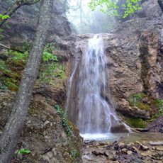
Uskut waterfalls
19.6 km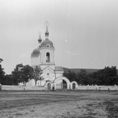
Saint Nicholas church in Zuya
14.9 km
Adji-Koba Cave
10.2 km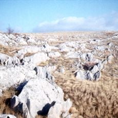
Karabi Yayla Botanic Sanctuary
12 km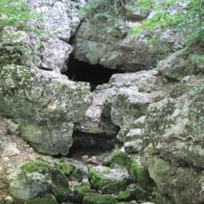
Source Alïocha
19.7 km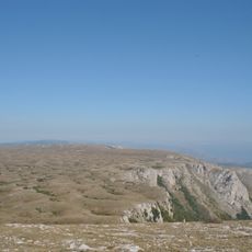
Карабі-яйлінськая котловина
16.7 km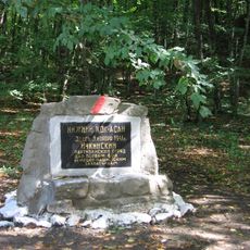
Ichkin partizan jangchilarining jang maydonidagi yodgorlik belgisi
16.5 kmReviews
Visited this place? Tap the stars to rate it and share your experience / photos with the community! Try now! You can cancel it anytime.
Discover hidden gems everywhere you go!
From secret cafés to breathtaking viewpoints, skip the crowded tourist spots and find places that match your style. Our app makes it easy with voice search, smart filtering, route optimization, and insider tips from travelers worldwide. Download now for the complete mobile experience.

A unique approach to discovering new places❞
— Le Figaro
All the places worth exploring❞
— France Info
A tailor-made excursion in just a few clicks❞
— 20 Minutes