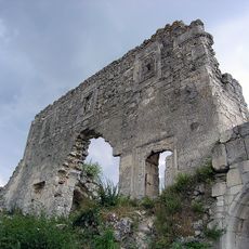
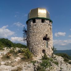
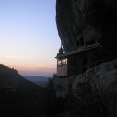
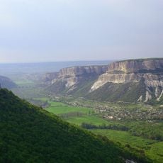
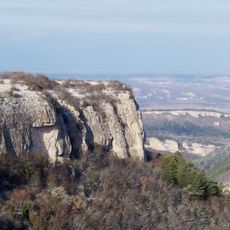
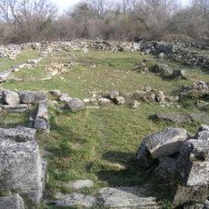
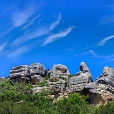
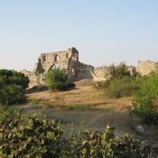
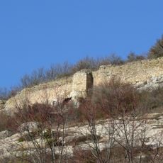
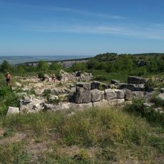
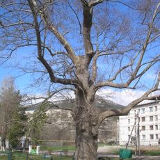
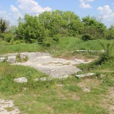
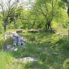
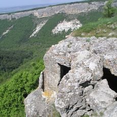
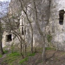
Kyz-Kule, Medieval castle in Bakhchysarai Raion, Ukraine.
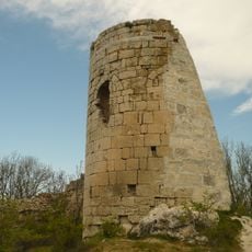
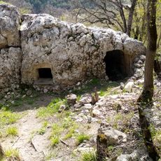
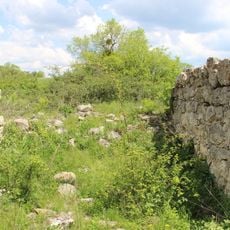
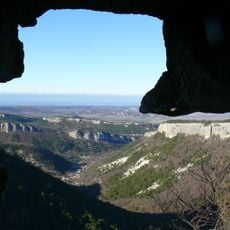
Kyz-Kule is a single gate tower, not a multi-tower castle, on a promontory at the north tip of the Topshana plateau northwest of Eski-Kermen. The tower's base measures 6.2 by 6.3 m, its walls are 1.0–1.1 m thick, and it stands 7.80 m high, built of rough stone with a dressed face on lime mortar mixed with crushed ceramic. A rock-cut ditch and road, once crossed by a drawbridge, lie before the gate.
Most historians date the fortress to the first half of the 15th century, though U. Bodaninsky, who excavated it in 1933, argued for the 10th century. The site perished in a fire in the 14th century according to the Ukrainian source, leaving only the gate tower. P. S. Pallas first noted it in his 1793–1794 travel notes; E. E. Keller and architect E. F. Pascal surveyed the remains in 1821.
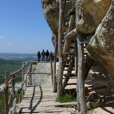
The name Kyz-Kule means "Maiden's Tower" in Crimean Tatar. Local tradition links the site to the Cherkes (Adyghe) people, and the alternative name Cherkes-Kermen may derive from a Cherkes named Kuti-Bey or Kutlug-Bey mentioned in Tatar treaties with Caffa in 1381 and 1387. A trail from the gorge west of the tower leads up to the site via rock-cut steps.
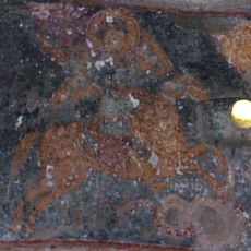
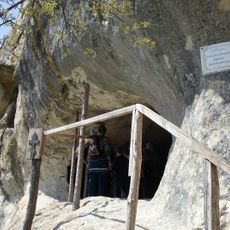
The site is reached from the gorge west of Kyz-Kule by a path with steps cut into the rock, and the final stretch is a near-vertical wall of loose soil where you pull yourself up by tree roots. Sturdy footwear is needed. The chapel known as the Temple of the Donators is easy to miss: it is a small cave in the rock directly in front of the visitor.
The chapel excavated by Usein Bodaninsky in 1933 measures 7.5 by 4.5 m and, judging by the pottery found inside, dates to the 15th century. The tower itself stands 7.80 m high, with a square interior 3.90 m on each side. The whole defended promontory covers 1.38 hectares, 225 m long and 75 m wide.
The community of curious travelers
AroundUs brings together thousands of curated places, local tips, and hidden gems, enriched daily by 94,418 contributors worldwide.