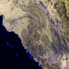
Asir Mountains, Mountain range in Southwest Saudi Arabia.
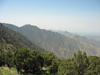
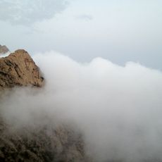
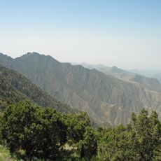
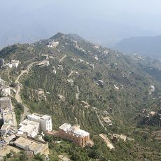
The Asir Mountains are a mountain range in southwestern Saudi Arabia, running along the border with Yemen and featuring steep cliffs, deep valleys, and forested slopes. The peaks rise above 9000 feet (2700 meters), making this one of the highest and greenest parts of the Arabian Peninsula.
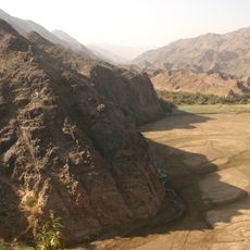
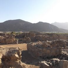
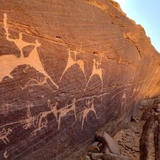
For many centuries, this range was a key passage for merchants and pilgrims traveling between Yemen and the Hejaz. In the 20th century, the area was incorporated into the Kingdom of Saudi Arabia, which brought significant changes to how the region was governed and connected to the rest of the country.
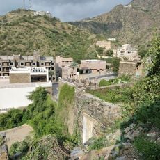
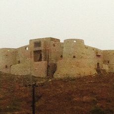
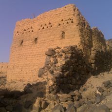
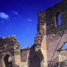
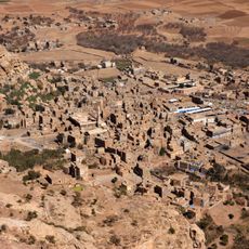
The villages of the Asir range are known for their painted house facades, decorated with geometric patterns and white quartz stones set into the walls. This tradition is still visible in older settlements and sets the region apart from other parts of the country.
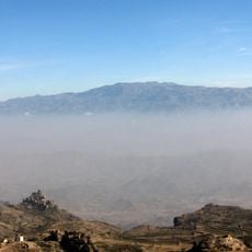
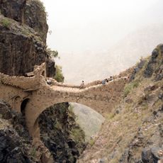
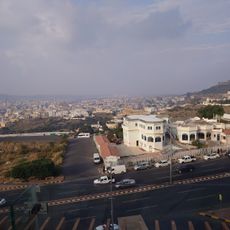
Abha is the most practical base for visiting the range, with roads leading to different parts of the mountains. The cooler months between October and May tend to offer better travel conditions, as the summer season brings rain that can make some routes harder to navigate.
Some slopes of the Asir range still carry a natural forest of juniper trees growing at elevations above 6500 feet (2000 meters), which is very rare on the Arabian Peninsula. This forest attracts bird species found nowhere else in Saudi Arabia, making the area notable among birdwatchers.
The community of curious travelers
AroundUs brings together thousands of curated places, local tips, and hidden gems, enriched daily by 60,000 contributors worldwide.