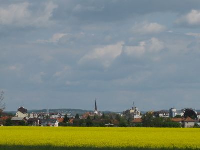
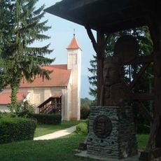
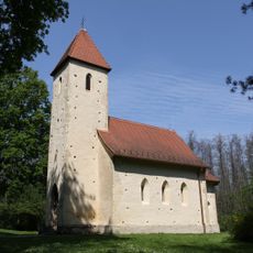
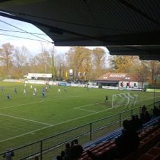
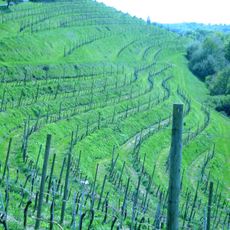
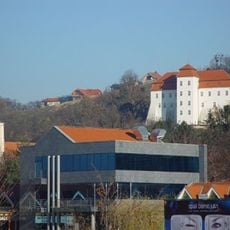
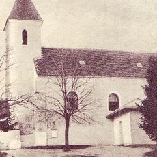
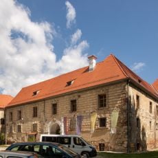
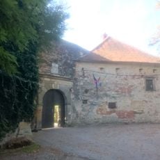
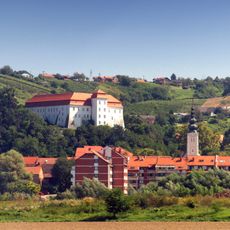
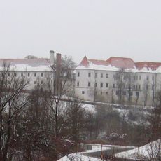
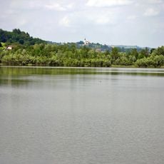
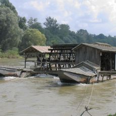
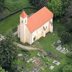
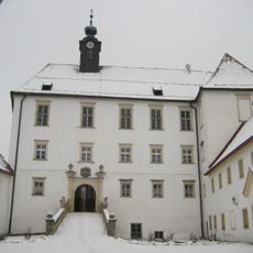
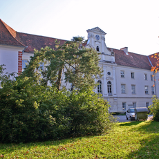
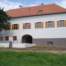
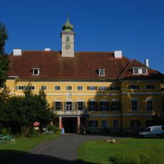
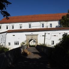
Mura Statistical Region, statistical region of Slovenia
Website: https://stat.si/obcine/Region/Index/1
GPS coordinates: 46.67146,16.23221
Latest update: April 23, 2025 18:11
Őrség National Park
23.6 km
Holy Trinity and Saint Stephen of Hungary church in Velemér
12.7 km
Fazanerija City Stadium
5.7 km
Slovene Hills
26 km
Municipality of Gornja Radgona
19 km
Municipality of Lendava
20.7 km
Church of the Ascension of Christ (Bogojina)
3.6 km
Grad Castle
17.7 km
Vurberk Castle
39.2 km
Parktherme Bad Radkersburg
19.5 km
Selo Rotunda
8.3 km
Parktherme Bad Radkersburg
19.4 km
Lendava Castle
20.5 km
Lake Bukovniško
8 km
Schloss Gutenhaag
36 km
Austrian-Slovenian-Hungarian tripoint
23.8 km
Goričko Nature Park
9.3 km
Babič Mill
10.1 km
Saint Peter Church, Őriszentpéter
23.6 km
Gornja Radgona Castle
19 km
Schloss Halbenrain
22.2 km
Basalt quarrie Kloech
23.2 km
Nagyrákos Viaduct
24.8 km
Municipality of Destrnik
33.9 km
Murska Sobota Castle
5.6 km
Banfi Manor
18.6 km
Schloss Poppendorf
35.3 km
Cmurek Castle
34.2 kmReviews
Visited this place? Tap the stars to rate it and share your experience / photos with the community! Try now! You can cancel it anytime.
Discover hidden gems everywhere you go!
From secret cafés to breathtaking viewpoints, skip the crowded tourist spots and find places that match your style. Our app makes it easy with voice search, smart filtering, route optimization, and insider tips from travelers worldwide. Download now for the complete mobile experience.
A unique approach to discovering new places❞
— Le Figaro
All the places worth exploring❞
— France Info
A tailor-made excursion in just a few clicks❞
— 20 Minutes