
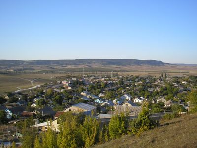
Kholmivka, human settlement in Bakhchysarai Raion, Republic of Crimea, Russia
Location: Republic of Crimea
Location: Autonomous Republic of Crimea
GPS coordinates: 44.65833,33.75417
Latest update: March 27, 2025 14:53
Mangup
8.2 km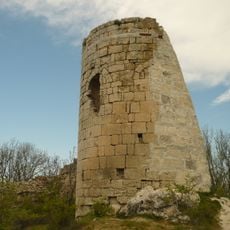
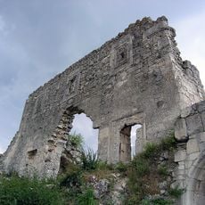
Suiren Fortress
7 km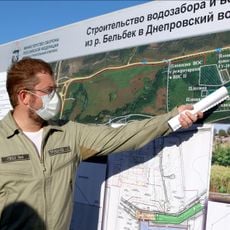
Belbek water intake
9.5 km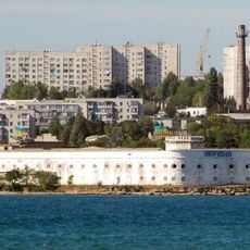
Rajon Nachimow
9.6 km
Chelter-Marmara
7.2 km
Shuldan
7.6 km
Chelter-Koba
6.8 km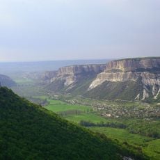
Бельбецький каньйон
6 km
Mangup Kale Complex Natural Monument
9 km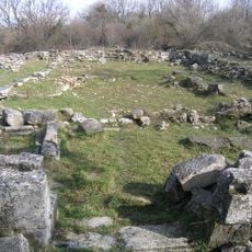
Great Basilica
8.1 km
Uzun-tarla
4.5 km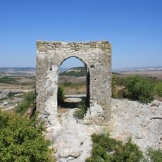
Kyz-Kule
4.8 km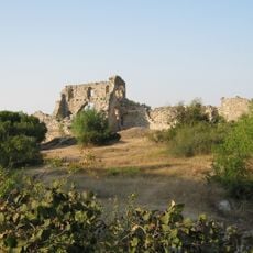
Citadel
8.3 km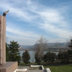
Egiz-Oba
9.9 km
Three Riders church in Eski Kermen
5.5 km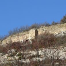
Fortress ensemble of Mangup
8.2 km
Southern Monastery
8.5 km
Kilse-tubyu Church
6.3 km
Church of Constantine and Helena
8.4 km
Cave of the Drum-koba
8.5 km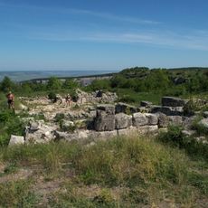
Prince Alexei 's Palace
8.2 km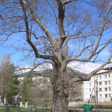
Platan of Pallas
9.1 km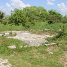
Octagonal Church
8.3 km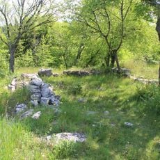
Saint George Church
8.1 km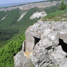
Monastery on Cape Teshkli-burun
8.6 km
Burun Kaia
10.9 km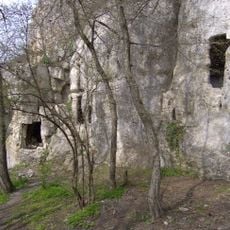
Northern Monastery
7.6 km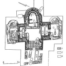
Крестообразный храм Мангупа
8.9 kmReviews
Visited this place? Tap the stars to rate it and share your experience / photos with the community! Try now! You can cancel it anytime.
Discover hidden gems everywhere you go!
From secret cafés to breathtaking viewpoints, skip the crowded tourist spots and find places that match your style. Our app makes it easy with voice search, smart filtering, route optimization, and insider tips from travelers worldwide. Download now for the complete mobile experience.

A unique approach to discovering new places❞
— Le Figaro
All the places worth exploring❞
— France Info
A tailor-made excursion in just a few clicks❞
— 20 Minutes