
Бір, protected forest tract in Kharkiv Oblast, Ukraine
Location: Kharkiv Oblast
Inception: 1984
GPS coordinates: 49.15833,36.95972
Latest update: April 8, 2025 21:26
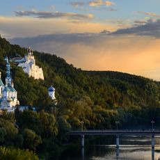
Sviatohirsk Lavra
46.6 km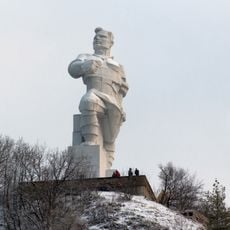
Monument to Artyom in Sviatohirsk
47 km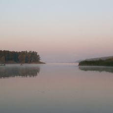
Oskil Reservoir
47.9 km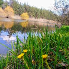
Dnipro-Donbas Canal
2.4 km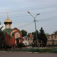
Oleksandrivka
51.1 km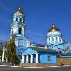
Ascension Cathedral, Izium
25.2 km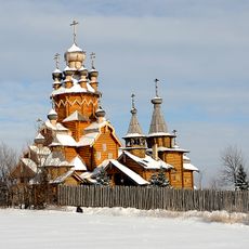
Всехсвятский скит
47.2 km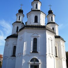
Church of Transfiguration, Izium
25.2 km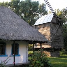
Museum of folk architecture in Prelesne
43.4 km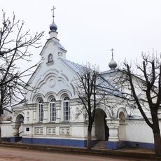
Starobilsk Monastery
46.6 km
Izumska Luka
10.6 km
Став Дзеркальний
33.8 km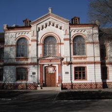
Building of Realschule in Izium
23.3 km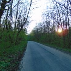
Maiac'ka dacha botanical natural monument
49.1 km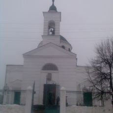
Church of the Exaltation of the Cross, Izium
25.2 km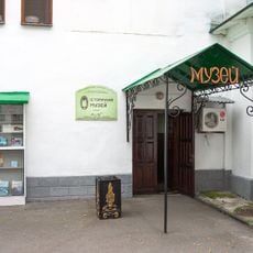
Sviatohirsk Lavra History museum
46.6 km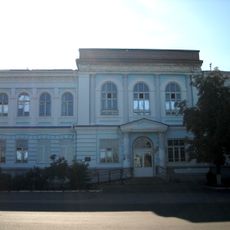
Building of the former women's gymnasium in Izium
23.5 km
Izium museum of local history
23.4 km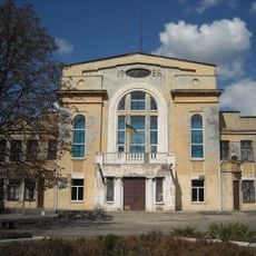
Zaliznychnyk house of culture, Izium
25.6 km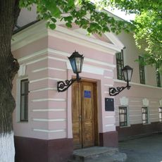
Balakliya Regional Museum of Local Lore
33.9 km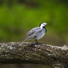
Bayrak Reserve
30.1 km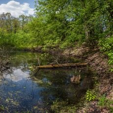
Synychynskyi Reserve
32.9 km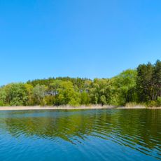
Chervonooskilskyi Park
46.8 km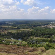
Iziumska Dacha
16.6 km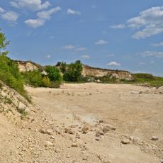
Protopopivskyi geological reserve
10.2 km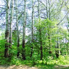
Тополя
46.4 km
Dub Geroiv Dolyny Botanical Natural Monument
44.7 km
Надеждинський
38.7 kmReviews
Visited this place? Tap the stars to rate it and share your experience / photos with the community! Try now! You can cancel it anytime.
Discover hidden gems everywhere you go!
From secret cafés to breathtaking viewpoints, skip the crowded tourist spots and find places that match your style. Our app makes it easy with voice search, smart filtering, route optimization, and insider tips from travelers worldwide. Download now for the complete mobile experience.

A unique approach to discovering new places❞
— Le Figaro
All the places worth exploring❞
— France Info
A tailor-made excursion in just a few clicks❞
— 20 Minutes