
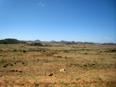
Kaabong District, districts of Uganda
Location: Northern Region
Capital city: Kaabong
Website: http://kaabong.go.ug
GPS coordinates: 3.51667,34.11667
Latest update: March 3, 2025 23:12
Lira
196.7 km
Lomekwi
197.5 km
Mount Elgon
269.4 km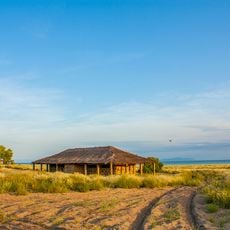
Koobi Fora
235 km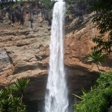
Sipi Falls
244.4 km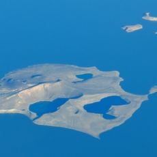
Central Island
214.8 km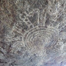
Nyero Rockpaintings
257.8 km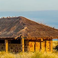
Sibiloi National Park
252.1 km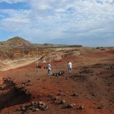
Lothagam North Pillar Site
187.6 km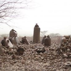
Namoratunga
187.6 km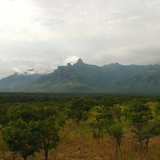
Mount Moroto
132.3 km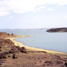
Lake Turkana National Parks
270.3 km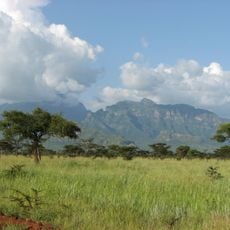
Mount Kadam
206.1 km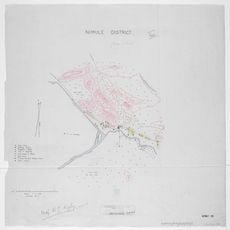
Nimule National Park
241.9 km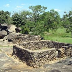
Baker's Fort
207.5 km
Lapurr Sandstone
206.3 km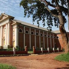
St. Joseph's Cathedral, Gulu
222.9 km
Kinyeti
142.3 km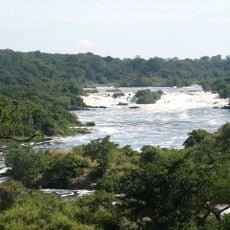
Karuma Falls
252.8 km
Vale Inferior do Omo
250.2 km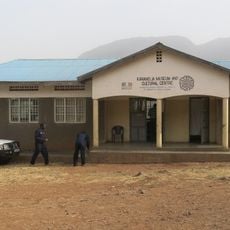
Karamoja Regional Museum
127.5 km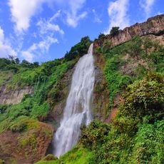
Sisiyi Falls
250.1 km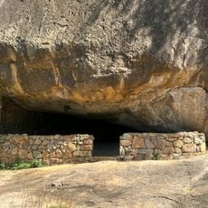
Nyero Rock Paintings
229.6 km

Agu
157.6 km
Atalochulo
222.7 km
Donyiro Cliff
238.7 km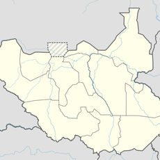
Sauro Rocks
176.9 kmReviews
Visited this place? Tap the stars to rate it and share your experience / photos with the community! Try now! You can cancel it anytime.
Discover hidden gems everywhere you go!
From secret cafés to breathtaking viewpoints, skip the crowded tourist spots and find places that match your style. Our app makes it easy with voice search, smart filtering, route optimization, and insider tips from travelers worldwide. Download now for the complete mobile experience.

A unique approach to discovering new places❞
— Le Figaro
All the places worth exploring❞
— France Info
A tailor-made excursion in just a few clicks❞
— 20 Minutes